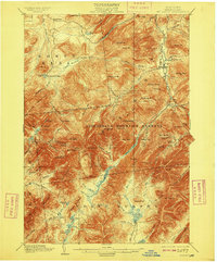
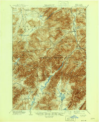
1902 Map of Mt. Marcy
USGS Topo · Published 1909About this map
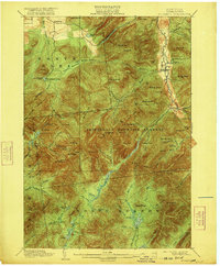
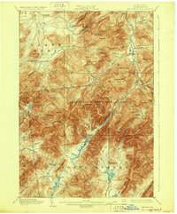
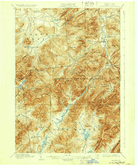
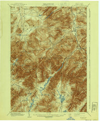
Mt. Marcy and the surrounding high peaks dominate this early 20th-century survey of the High Peaks region, captured during a period of expanding wilderness recreation and private preservation. The map highlights the Adirondack Mountain Reserve and its network of water bodies, including Lake Colden, Avalanche Lake, and the source waters of the Opalescent River. Settlement is concentrated in the eastern valleys around Keene Valley and Beede, while the interior remains a landscape of named summits and remote camps.
Find a feature on this map
104 named features on this map. Tap any name to fly to it.
Don’t see what you’re looking for? This feature index may not catch every label — zoom into the map to look around manually.
Map Details
Editions of this 1902 Mt. Marcy Map
10 editions found

Other maps of this area

1894 · Elizabethtown
USGS Topo · 1:62,500

1895 · Elizabethtown
USGS Topo · 1:62,500

1895 · Mt. Marcy
USGS Topo · 1:62,500

1895 · Ausable
USGS Topo · 1:62,500

1895 · Paradox Lake
USGS Topo · 1:62,500

1896 · Lake Placid
USGS Topo · 1:62,500

1897 · Paradox Lake
USGS Topo · 1:62,500

1897 · Schroon Lake
USGS Topo · 1:62,500

1898 · Newcomb
USGS Topo · 1:62,500

1898 · Lake Placid
USGS Topo · 1:62,500