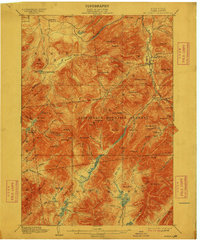
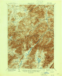
1902 Map of Mt. Marcy
USGS Topo · Published 1912About this map
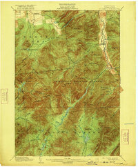
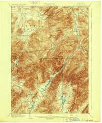
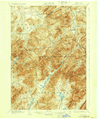
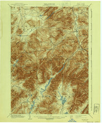
Mt. Marcy and the high peaks of the Adirondack Mountain Reserve dominate this landscape as it was documented at the dawn of the 20th century. The terrain is a network of water and ridges, where the West Br Ausable River flows north through the Keene township. This era captures the region’s early development as a recreational retreat, centered on the Adirondack Lodge and the settlement of Keene Valley.
Find a feature on this map
106 named features on this map. Tap any name to fly to it.
Don’t see what you’re looking for? This feature index may not catch every label — zoom into the map to look around manually.
Map Details
Editions of this 1902 Mt. Marcy Map
10 editions found

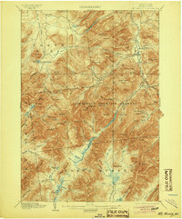
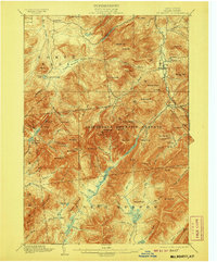
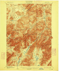
Other maps of this area

1894 · Elizabethtown
USGS Topo · 1:62,500

1895 · Elizabethtown
USGS Topo · 1:62,500

1895 · Mt. Marcy
USGS Topo · 1:62,500

1895 · Ausable
USGS Topo · 1:62,500

1895 · Paradox Lake
USGS Topo · 1:62,500

1896 · Lake Placid
USGS Topo · 1:62,500

1897 · Paradox Lake
USGS Topo · 1:62,500

1897 · Schroon Lake
USGS Topo · 1:62,500

1898 · Newcomb
USGS Topo · 1:62,500

1898 · Lake Placid
USGS Topo · 1:62,500