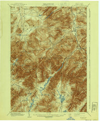
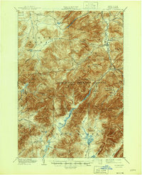
1902 Map of Mt. Marcy
USGS Topo · Published 1940About this map
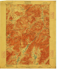
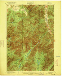
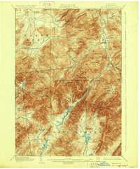
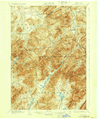
Mt. Marcy and the surrounding high peaks define this 1902 survey of the Adirondack backcountry. At a time when the region was primarily the domain of loggers, early conservationists, and rusticators, the map details a primitive network of camps and mountain hostels including the Adirondack Lodge and St. Huberts. The intricate drainage patterns of the West Branch Ausable River and the Opalescent River are meticulously charted, showing the headwaters that feed the Hudson and St. Lawrence watersheds. The topography illustrates the significant elevation changes within the Adirondack Mountain Reserve, from the valley floors of Keene Valley to the summits of the Mac Intyre Mountains. Notable high-altitude water bodies such as Lake Tear and Lake Colden are captured alongside the early trails and landmarks used by pioneering surveyors like H.M. Wilson and E.C. Barnard during their 1891-92 reconnaissance.
Find a feature on this map
93 named features on this map. Tap any name to fly to it.
Don’t see what you’re looking for? This feature index may not catch every label — zoom into the map to look around manually.
Map Details
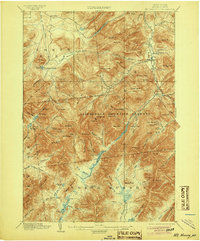
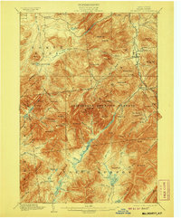
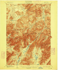
Editions of this 1902 Mt. Marcy Map
10 editions found

Other maps of this area

1894 · Elizabethtown
USGS Topo · 1:62,500

1895 · Elizabethtown
USGS Topo · 1:62,500

1895 · Mt. Marcy
USGS Topo · 1:62,500

1895 · Ausable
USGS Topo · 1:62,500

1895 · Paradox Lake
USGS Topo · 1:62,500

1896 · Lake Placid
USGS Topo · 1:62,500

1897 · Paradox Lake
USGS Topo · 1:62,500

1897 · Schroon Lake
USGS Topo · 1:62,500

1898 · Newcomb
USGS Topo · 1:62,500

1898 · Lake Placid
USGS Topo · 1:62,500