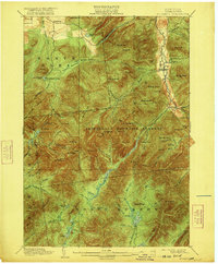
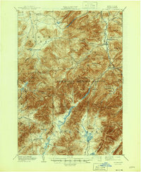
1902 Map of Mt. Marcy
USGS Topo · Published 1921About this map
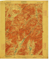
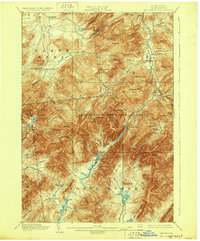
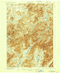
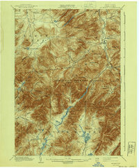
Mt. Marcy anchors this turn-of-the-century topographic study, which illustrates the high summits and isolated settlements of Essex County. The map details the early development of Adirondack Lodge and the gateway village of Keene Valley, revealing the footpaths and wagon roads that connected these remote outposts before modern infrastructure. Within the Adirondack Mountain Reserve, the survey captures the complex drainage patterns of the Opalescent River and high-elevation water bodies like Lake Tear. This era of mapping was conducted in cooperation with the State Engineer and Surveyor, focusing on the diverse land use between the southern reaches of North Elba and the dense forests of North Hudson. The landscape is a mix of high peaks such as Big Slide Mt. and Gothic Mt., intertwined with numerous brooks and small camps that reflect the region's early importance to recreation and conservation.
Find a feature on this map
119 named features on this map. Tap any name to fly to it.
Don’t see what you’re looking for? This feature index may not catch every label — zoom into the map to look around manually.
Map Details
Editions of this 1902 Mt. Marcy Map
10 editions found

Other maps of this area

1894 · Elizabethtown
USGS Topo · 1:62,500

1895 · Elizabethtown
USGS Topo · 1:62,500

1895 · Mt. Marcy
USGS Topo · 1:62,500

1895 · Ausable
USGS Topo · 1:62,500

1895 · Paradox Lake
USGS Topo · 1:62,500

1896 · Lake Placid
USGS Topo · 1:62,500

1897 · Paradox Lake
USGS Topo · 1:62,500

1897 · Schroon Lake
USGS Topo · 1:62,500

1898 · Newcomb
USGS Topo · 1:62,500

1898 · Lake Placid
USGS Topo · 1:62,500