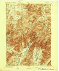
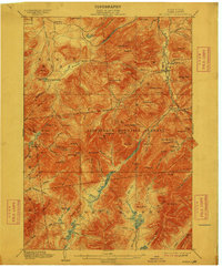
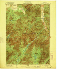
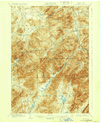
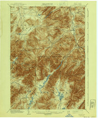
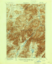
1902 Map of Mt. Marcy
USGS Topo · Published 1928About this map
Mt. Marcy stands as the central peak of this late 19th-century survey, surrounded by the high peaks of the Mac Intyre Mountains and the sprawling Adirondack Mountain Reserve. The map details a landscape defined by sharp elevation and remote water bodies, including Lake Tear, Lake Colden, and the deep waters of the Cascade Lakes. Settlement is concentrated in the valleys, with the communities of North Elba, Keene Valley, and St. Huberts serving as gatekeepers to the high country.
Find a feature on this map
95 named features on this map. Tap any name to fly to it.
Don’t see what you’re looking for? This feature index may not catch every label — zoom into the map to look around manually.
Map Details
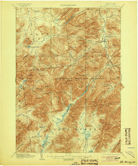
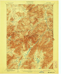
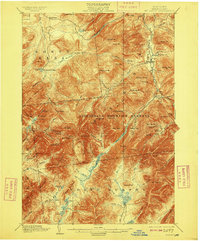
Editions of this 1902 Mt. Marcy Map
10 editions found

Other maps of this area

1894 · Elizabethtown
USGS Topo · 1:62,500

1895 · Elizabethtown
USGS Topo · 1:62,500

1895 · Mt. Marcy
USGS Topo · 1:62,500

1895 · Ausable
USGS Topo · 1:62,500

1895 · Paradox Lake
USGS Topo · 1:62,500

1896 · Lake Placid
USGS Topo · 1:62,500

1897 · Paradox Lake
USGS Topo · 1:62,500

1897 · Schroon Lake
USGS Topo · 1:62,500

1898 · Newcomb
USGS Topo · 1:62,500

1898 · Lake Placid
USGS Topo · 1:62,500