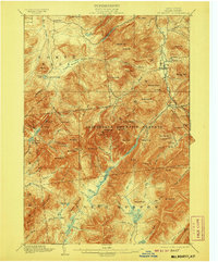
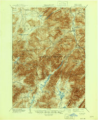
1902 Map of Mt. Marcy
USGS Topo · Published 1907About this map
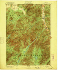
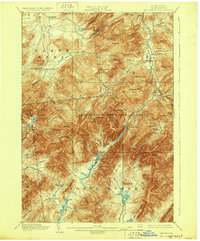
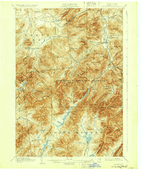
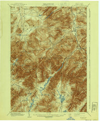
Mt. Marcy and the high peaks of the High Peaks region are documented here in detail from surveys conducted in the early 1890s. The landscape is defined by the Adirondack Mountain Reserve, where drainage patterns flow from high alpine waters like Lake Tear and Lake Colden toward the Opalescent River and Boreas River. Settlement is concentrated in the northeast corner at Keene Valley and Beede, while the northwestern area features Adirondack Lodge near Mt. Jo. This map captures a transitional era in the Adirondacks, showing established mountain camps and early tourism infrastructure before modern development. Notable landmarks such as Rooster Comb, Gothic Mt., and the Mac Intyre Mountains provide clear reference points for those tracing the history of recreation and preservation in Essex County.
Find a feature on this map
108 named features on this map. Tap any name to fly to it.
Don’t see what you’re looking for? This feature index may not catch every label — zoom into the map to look around manually.
Map Details
Editions of this 1902 Mt. Marcy Map
10 editions found

Other maps of this area

1894 · Elizabethtown
USGS Topo · 1:62,500

1895 · Elizabethtown
USGS Topo · 1:62,500

1895 · Mt. Marcy
USGS Topo · 1:62,500

1895 · Ausable
USGS Topo · 1:62,500

1895 · Paradox Lake
USGS Topo · 1:62,500

1896 · Lake Placid
USGS Topo · 1:62,500

1897 · Paradox Lake
USGS Topo · 1:62,500

1897 · Schroon Lake
USGS Topo · 1:62,500

1898 · Newcomb
USGS Topo · 1:62,500

1898 · Lake Placid
USGS Topo · 1:62,500