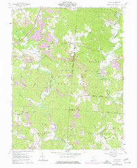
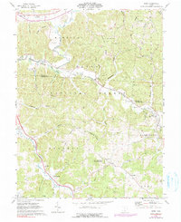
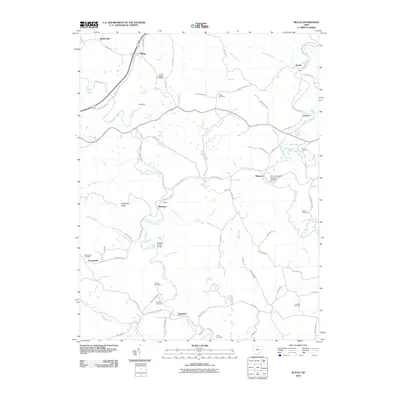
1961 Map of Mulga
USGS Topo · Published 1977About this map
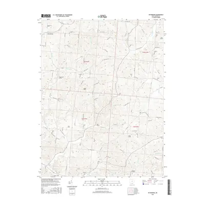
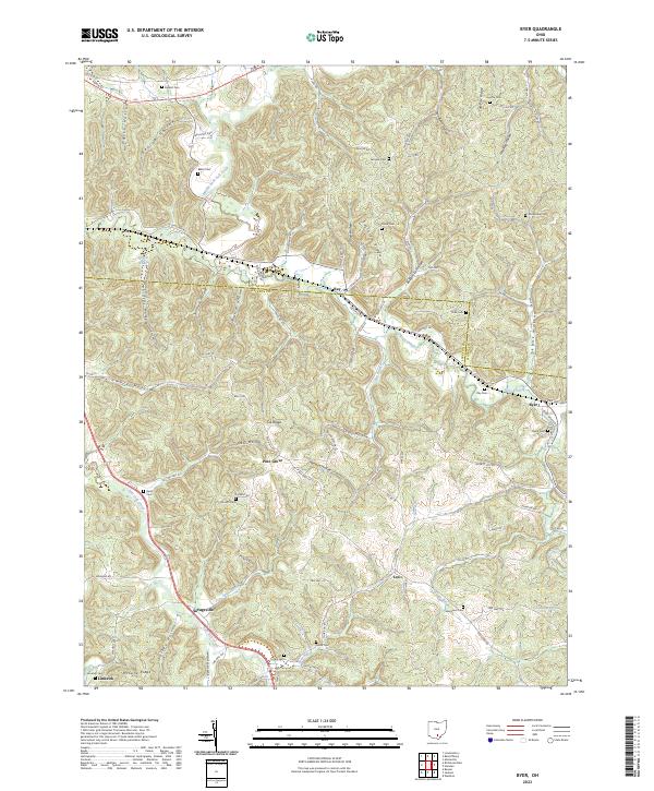
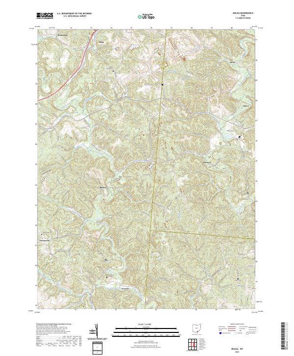
Mulga and its surrounding coal-producing landscapes define this section of southern Ohio as it was documented in the early 1960s and updated in the mid-1970s. The terrain is deeply carved by watercourses like Little Raccoon Creek and Raccoon Creek, which are flanked by the expansive Wayne National Forest. Local industrial history is prominently etched into the topography through numerous Strip Mines and the Buckeye State Furnace Memorial, indicating the region's long-standing reliance on resource extraction.
Find a feature on this map
56 named features on this map. Tap any name to fly to it.
Don’t see what you’re looking for? This feature index may not catch every label — zoom into the map to look around manually.
Map Details
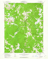
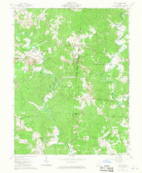
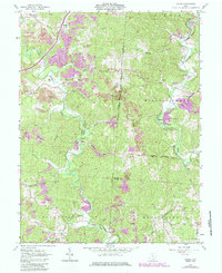
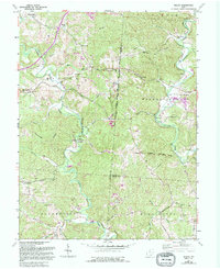
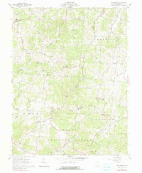
Editions of this 1961 Mulga Map
5 editions found
Historical Maps of Hawks Through Time
18 maps found
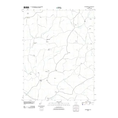
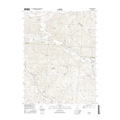
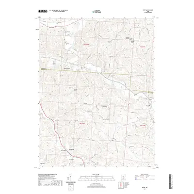
1961 Byer
Jackson County, OH
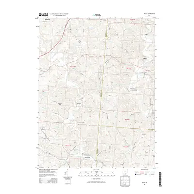
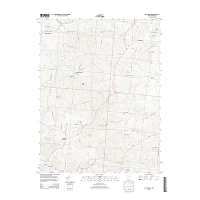
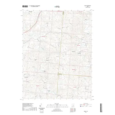
1961 Mulga
Jackson County, OH
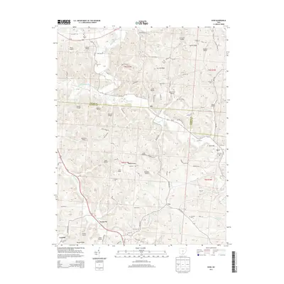
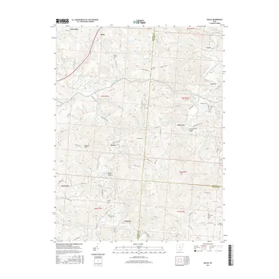
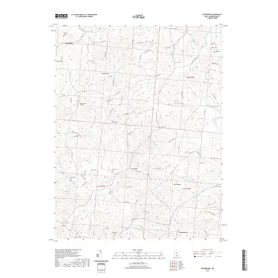
1961 Petersburg
Jackson County, OH
2010 Byer
Jackson County, OH
2010 Mulga
Jackson County, OH
2010 Petersburg
Jackson County, OH
2013 Byer
Jackson County, OH
2013 Mulga
Jackson County, OH
2013 Petersburg
Jackson County, OH
2016 Byer
Jackson County, OH
2016 Mulga
Jackson County, OH
2016 Petersburg
Jackson County, OH
2019 Byer
Jackson County, OH
2019 Mulga
Jackson County, OH
2019 Petersburg
Jackson County, OH
2023 Byer
Jackson County, OH
2023 Mulga
Jackson County, OH
2023 Petersburg
Jackson County, OH