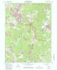
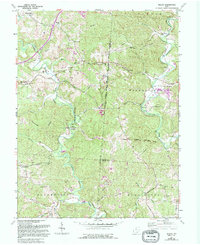
1961 Map of Mulga
USGS Topo · Published 1985About this map
The industrial legacy of southeastern Ohio is prominently displayed on this map, centered on the Furnace Memorial (Buckeye State) and the Buckeye Furnace. The landscape is heavily marked by extractive industry, with numerous Strip Mines and a large-scale Conveyor system supporting the local economy. Settlement patterns follow the winding paths of Little Raccoon Creek and Raccoon Creek, where small communities like Pattonsville and Minerton are established. Genealogists will find a wealth of local landmarks, including several rural houses of worship such as Morris Chapel, Uncle Joes Chapel, and the Minerton Ch. The area is further defined by historical transportation routes, including the Chesapeake and Ohio railroad and an Old Railroad Grade, which intersect with established family plots like Fisher Cem and Keystone Cem.
Find a feature on this map
58 named features on this map. Tap any name to fly to it.
Don’t see what you’re looking for? This feature index may not catch every label — zoom into the map to look around manually.
Map Details
Editions of this 1961 Mulga Map
5 editions found
Other maps of this area

1905 · Wilkesville
USGS Topo · 1:62,500

1906 · Bidwell
USGS Topo · 1:62,500

1908 · Bidwell
USGS Topo · 1:62,500

1908 · Wilkesville
USGS Topo · 1:62,500

1912 · Oak Hill
USGS Topo · 1:62,500

1913 · Jackson
USGS Topo · 1:62,500

1944 · Jackson
USGS Topo · 1:62,500

1947 · Columbus
USGS Topo · 1:250,000

1957 · Huntington
USGS Topo · 1:250,000

1960 · Huntington
USGS Topo · 1:250,000