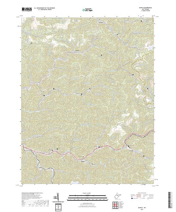
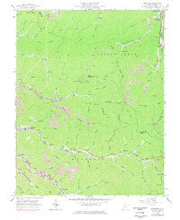
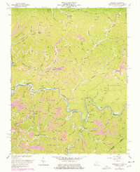
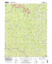
2023 Map of Myrtle
USGS Topo · Published 2023About this map
The community of Myrtle serves as a central point in this part of Mingo County, where the US Rte 119 corridor follows the winding path of Trace Fork. The landscape is defined by the steep ridges and deep hollows characteristic of West Virginia, including Kirk Ridge and Johnson Ridge. A significant historical transport marker is the Old N W Railroad Bed Rd, which cuts through the northern terrain near Parsley and Dingess, tracing the path of former industry through the hills.
Find a feature on this map
87 named features on this map. Tap any name to fly to it.
Don’t see what you’re looking for? This feature index may not catch every label — zoom into the map to look around manually.
Map Details
Editions of this 2023 Myrtle Map
This is the sole edition of this map. No revisions or reprints were ever made.
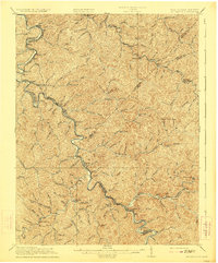
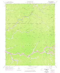
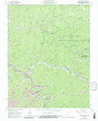
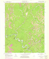
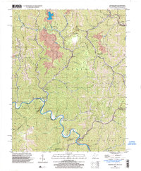
Historical Maps of Parsley Through Time
24 maps found

1910 Naugatuck
Mingo County, WV

1912 Naugatuck
Mingo County, WV

1915 Naugatuck
Mingo County, WV
1917 Naugatuck
Mingo County, WV

1926 Naugatuck
Mingo County, WV

1928 Naugatuck
Mingo County, WV
1954 Naugatuck
Mingo County, WV
1954 Wharncliffe
Mingo County, WV
1963 Barnabus
Mingo County, WV
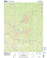
1963 Myrtle
Mingo County, WV
1963 Naugatuck
Mingo County, WV

1963 Trace
Mingo County, WV
1963 Wharncliffe
Mingo County, WV
1964 Majestic
Mingo County, WV
1996 Barnabus
Mingo County, WV
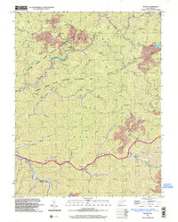
1996 Myrtle
Mingo County, WV
1997 Naugatuck
Mingo County, WV
1997 Trace
Mingo County, WV
2001 Wharncliffe
Mingo County, WV
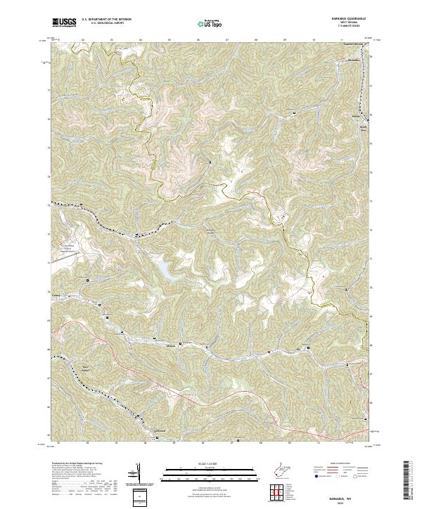
2023 Barnabus
Mingo County, WV
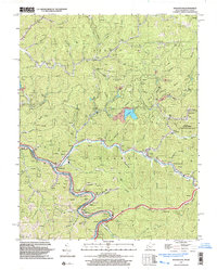
2023 Myrtle
Mingo County, WV
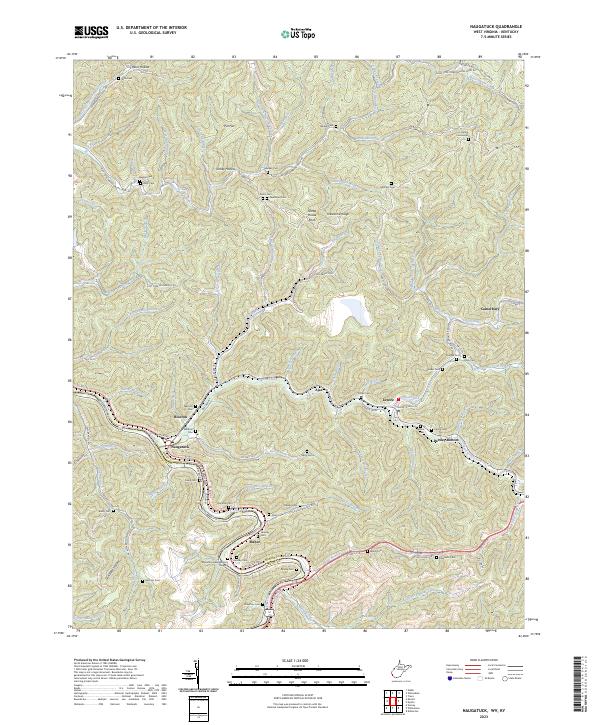
2023 Naugatuck
Mingo County, WV
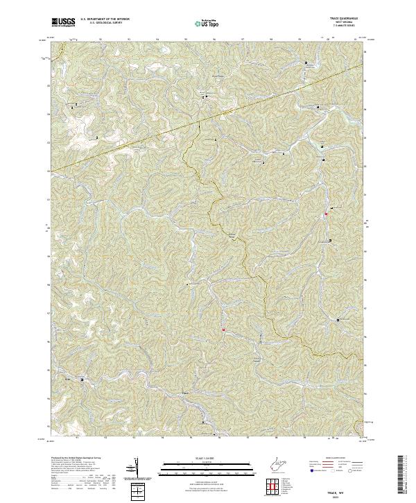
2023 Trace
Mingo County, WV
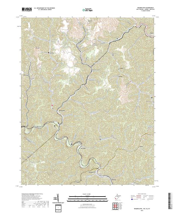
2023 Wharncliffe
Mingo County, WV