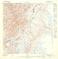
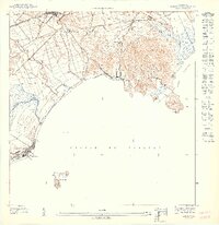
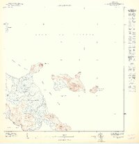
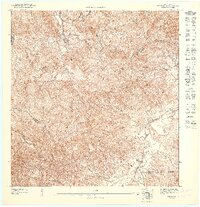
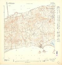
1947 Map of Naguabo NE
USGS Topo · Published 1947This historical map portrays the area of Naguabo NE in 1947, primarily covering Puerto Rico. Featuring a scale of 1:10000, this map provides a highly detailed snapshot of the terrain, roads, buildings, counties, and historical landmarks in the Naguabo NE region at the time. Published in 1947, it is one of 11 known editions of this map due to revisions or reprints.
Find a feature on this map
17 named features on this map. Tap any name to fly to it.
Don’t see what you’re looking for? This feature index may not catch every label — zoom into the map to look around manually.
Map Details
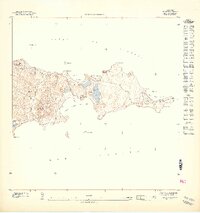
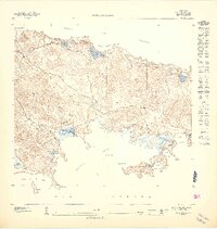
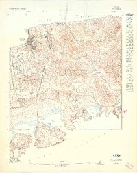
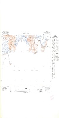
Editions of this 1947 Naguabo NE Map
11 editions found
1947 edition
30.75 x 31.6 inches

1947 edition
30.8 x 31.66 inches
1947 edition
30.72 x 31.62 inches
1947 edition
30.59 x 31.72 inches
1947 edition
33.09 x 15.16 inches
1948 edition
31.04 x 32.09 inches
1948 edition
31.53 x 33.65 inches
1948 edition
31.85 x 33.63 inches
1948 edition
31.72 x 40.19 inches
1948 edition
31.88 x 33.66 inches
1948 edition
32.02 x 63.15 inches
Historical Maps of Guayacán Through Time
1 maps found