
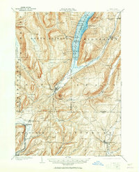
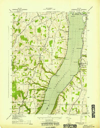
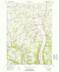
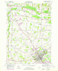
1913 Map of Naples
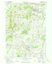
USGS Topo · Published 1913This historical map portrays the area of Naples in 1913, primarily covering Ontario County as well as portions of Yates County, Steuben County, and Livingston County. Featuring a scale of 1:62500, this map provides a highly detailed snapshot of the terrain, roads, buildings, counties, and historical landmarks in the Naples region at the time. Published in 1913, it is the sole known edition of this map.
Find a feature on this map
80 named features on this map. Tap any name to fly to it.
Don’t see what you’re looking for? This feature index may not catch every label — zoom into the map to look around manually.
Map Details
Editions of this 1913 Naples Map
This is the sole edition of this map. No revisions or reprints were ever made.
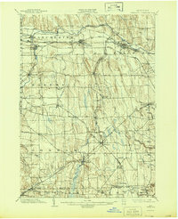
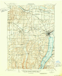
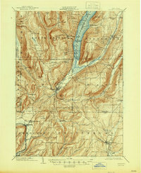
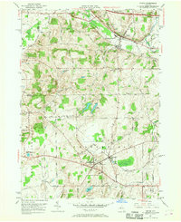
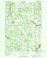
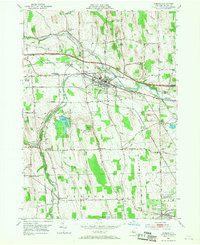
Historical Maps of Naples Through Time
21 maps found

1900 Canandaigua
Ontario County, NY
1900 Naples
Ontario County, NY
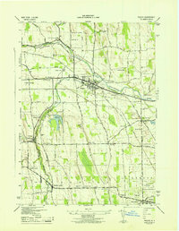
1902 Phelps
Ontario County, NY
1903 Canandaigua
Ontario County, NY
1903 Naples
Ontario County, NY
1913 Naples
Ontario County, NY

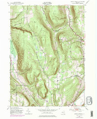
1942 Bristol Springs
Ontario County, NY
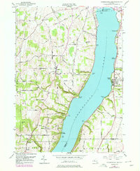
1942 Canandaigua Lake
Ontario County, NY
1942 Canandaigua
Ontario County, NY
1942 Springwater
Ontario County, NY
1942 Stanley
Ontario County, NY

1942 Victor
Ontario County, NY
1943 Bristol Springs
Ontario County, NY
1943 Phelps
Ontario County, NY
1951 Bristol Center
Ontario County, NY
1951 Canandaigua Lake
Ontario County, NY
1951 Canandaigua
Ontario County, NY
1951 Victor
Ontario County, NY
1952 Stanley
Ontario County, NY
1953 Phelps
Ontario County, NY
1971 Victor
Ontario County, NY