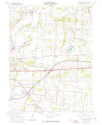
1961 Map of New Moorefield
USGS Topo · Published 1974About this map
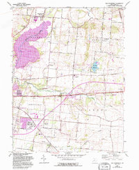
New Moorefield and Harmony anchor this central Ohio landscape, reflecting a post-war era of infrastructure expansion and agricultural continuity. The map shows the transition of traditional farm-to-market routes into a more modern transportation network, with the massive interchange of the National Road and the developing interstate system cutting across the rural township lines. Along the southern edge, the Detroit Toledo and Ironton and Penn Central railroads maintain their historical presence, serving the small community of Thorps and the industrial edges of the county seat.
Find a feature on this map
44 named features on this map. Tap any name to fly to it.
Don’t see what you’re looking for? This feature index may not catch every label — zoom into the map to look around manually.
Map Details
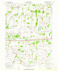
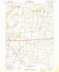
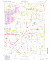
Editions of this 1961 New Moorefield Map
5 editions found
Other maps of this area

1904 · Springfield
USGS Topo · 1:62,500

1906 · Springfield
USGS Topo · 1:62,500

1907 · South Charleston
USGS Topo · 1:62,500

1914 · St. Paris
USGS Topo · 1:62,500

1914 · Mechanicsburg
USGS Topo · 1:62,500

1916 · Mechanicsburg
USGS Topo · 1:62,500

1916 · St. Paris
USGS Topo · 1:62,500

1944 · Mechanicsburg
USGS Topo · 1:62,500

1944 · St. Paris
USGS Topo · 1:62,500

1947 · Columbus
USGS Topo · 1:250,000