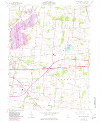
1961 Map of New Moorefield
USGS Topo · Published 1982About this map
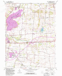
New Moorefield and the rolling agricultural lands of Clark County are captured here just as modern infrastructure began to reshape the local landscape. The map highlights a significant period of change, where the emerging Clarence J Brown Lake and Buck Creek State Park began to dominate the western topography, contrasting with the established rural character of Moorefield and Pleasant townships. Genealogy researchers will find numerous family-named roads like Yeazell Road and Mahar Road, alongside local landmarks such as Fletcher Chapel and Rose Hill Cemetery.
Find a feature on this map
50 named features on this map. Tap any name to fly to it.
Don’t see what you’re looking for? This feature index may not catch every label — zoom into the map to look around manually.
Map Details
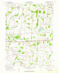
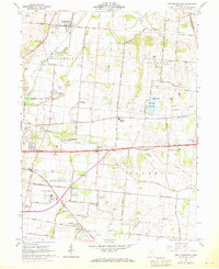
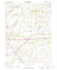
Editions of this 1961 New Moorefield Map
5 editions found
Other maps of this area

1904 · Springfield
USGS Topo · 1:62,500

1906 · Springfield
USGS Topo · 1:62,500

1907 · South Charleston
USGS Topo · 1:62,500

1914 · St. Paris
USGS Topo · 1:62,500

1914 · Mechanicsburg
USGS Topo · 1:62,500

1916 · Mechanicsburg
USGS Topo · 1:62,500

1916 · St. Paris
USGS Topo · 1:62,500

1944 · Mechanicsburg
USGS Topo · 1:62,500

1944 · St. Paris
USGS Topo · 1:62,500

1947 · Columbus
USGS Topo · 1:250,000