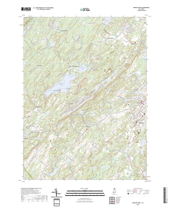
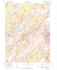
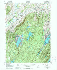
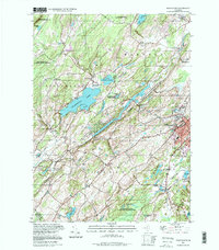
2023 Map of Newton West
USGS Topo · Published 2023About this map
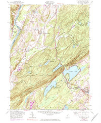
Newton and its surrounding hamlets define the landscape of central Sussex County in this detailed topographical study. The county seat is home to the Sussex County Judicial Center and Sussex County Community College, alongside several significant local landmarks such as Newton Cem and Saint Joseph Cem. The region's natural geography is dominated by a complex network of waterways, including the Pequest River and the Paulins Kill, which once powered local industry at sites like Bales Mill Pond.
Find a feature on this map
193 named features on this map. Tap any name to fly to it.
Don’t see what you’re looking for? This feature index may not catch every label — zoom into the map to look around manually.
Map Details
Editions of this 2023 Newton West Map
This is the sole edition of this map. No revisions or reprints were ever made.
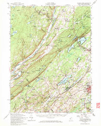
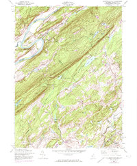
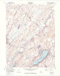
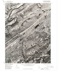
Historical Maps of Paulins Kill Through Time
21 maps found
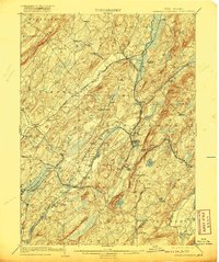
1903 Franklin Furnace
Sussex County, NJ

1943 Flatbrookville
Sussex County, NJ

1943 Franklin Furnace
Sussex County, NJ
1943 Newton East
Sussex County, NJ
1943 Port Jervis South
Sussex County, NJ
1954 Culvers Gap
Sussex County, NJ
1954 Dingmans Ferry
Sussex County, NJ
1954 Flatbrookville
Sussex County, NJ
1954 Newton East
Sussex County, NJ
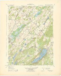
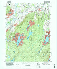
1954 Newton West
Sussex County, NJ
1954 Wawayanda
Sussex County, NJ
1976 Flatbrookville
Sussex County, NJ

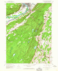
1992 Flatbrookville
Sussex County, NJ
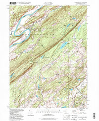
1994 Newton West
Sussex County, NJ
1994 Wawayanda
Sussex County, NJ
1997 Flatbrookville
Sussex County, NJ
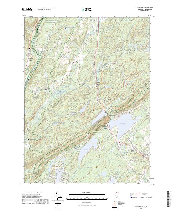
2023 Culvers Gap
Sussex County, NJ
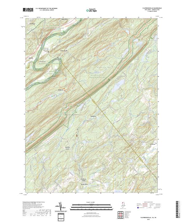
2023 Flatbrookville
Sussex County, NJ
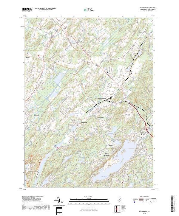
2023 Newton East
Sussex County, NJ
2023 Newton West
Sussex County, NJ
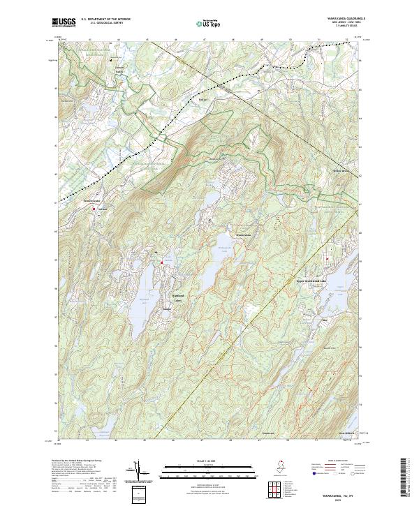
2023 Wawayanda
Sussex County, NJ