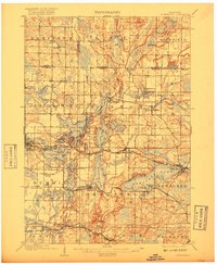
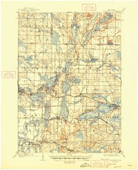
1909 Map of Oconomowoc
USGS Topo · Published 1917About this map
The glacial lakes of Waukesha County dominate this early twentieth-century landscape, where established resorts and institutional grounds sit among a dense network of water bodies. Oconomowoc and Pewaukee serve as primary hubs, connected by the Chicago Milwaukee and St Paul railroad and the newer lines of the Milwaukee Electric Railway and Light Co. The map reveals a specialized local economy, including the State Fish Hatchery near Delafield and the State Sanitarium on the slopes of Lapham Hill.
Find a feature on this map
79 named features on this map. Tap any name to fly to it.
Don’t see what you’re looking for? This feature index may not catch every label — zoom into the map to look around manually.
Map Details
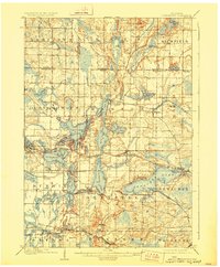
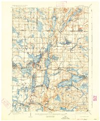
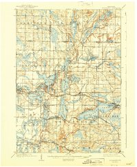
Editions of this 1909 Oconomowoc Map
6 editions found

Other maps of this area

1891 · Muskego
USGS Topo · 1:62,500

1892 · Waukesha
USGS Topo · 1:62,500

1892 · Watertown
USGS Topo · 1:62,500

1892 · Oconomowoc
USGS Topo · 1:62,500

1892 · Whitewater
USGS Topo · 1:62,500

1892 · Eagle
USGS Topo · 1:62,500

1893 · Whitewater
USGS Topo · 1:62,500

1894 · Watertown
USGS Topo · 1:62,500

1894 · Eagle
USGS Topo · 1:62,500

1897 · Eagle
USGS Topo · 1:62,500