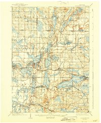
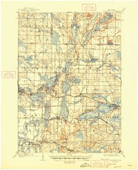
1909 Map of Oconomowoc
USGS Topo · Published 1943About this map
Pewaukee Lake and the interconnected waters of the Oconomowoc River valley dominate this turn-of-the-century landscape, revealing a region defined by its glacial kettle lakes and emerging resort culture. The map shows the development of leisure sites like Waukesha Beach and Lakeside Sta alongside established institutions such as the Nashotah Mission and the State Sanitarium.
Find a feature on this map
95 named features on this map. Tap any name to fly to it.
Don’t see what you’re looking for? This feature index may not catch every label — zoom into the map to look around manually.
Map Details
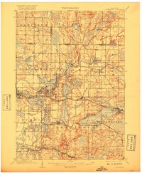
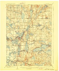
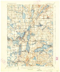
Editions of this 1909 Oconomowoc Map
6 editions found

Other maps of this area

1891 · Muskego
USGS Topo · 1:62,500

1892 · Waukesha
USGS Topo · 1:62,500

1892 · Watertown
USGS Topo · 1:62,500

1892 · Oconomowoc
USGS Topo · 1:62,500

1892 · Whitewater
USGS Topo · 1:62,500

1892 · Eagle
USGS Topo · 1:62,500

1893 · Whitewater
USGS Topo · 1:62,500

1894 · Watertown
USGS Topo · 1:62,500

1894 · Eagle
USGS Topo · 1:62,500

1897 · Eagle
USGS Topo · 1:62,500