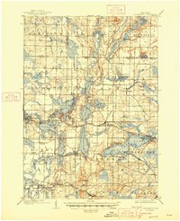
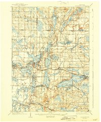
1909 Map of Oconomowoc
USGS Topo · Published 1947About this map
Glacial geology defines the landscape in this 1907 survey, where a complex network of kettle lakes and rivers supported early twentieth-century recreation and institutional growth. The Pewaukee Lake shoreline features Waukesha Beach and Lakeside Sta, while smaller bodies of water like Pine Lake and North Lake are clustered along the Oconomowoc River. Significant cultural landmarks include the Nashotah Mission and the State Sanitarium near Government Hill (labeled here as Lapham Hill), providing a glimpse into the era's specialized land use.
Find a feature on this map
78 named features on this map. Tap any name to fly to it.
Don’t see what you’re looking for? This feature index may not catch every label — zoom into the map to look around manually.
Map Details
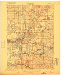
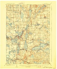
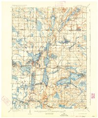
Editions of this 1909 Oconomowoc Map
6 editions found

Other maps of this area

1891 · Muskego
USGS Topo · 1:62,500

1892 · Waukesha
USGS Topo · 1:62,500

1892 · Watertown
USGS Topo · 1:62,500

1892 · Oconomowoc
USGS Topo · 1:62,500

1892 · Whitewater
USGS Topo · 1:62,500

1892 · Eagle
USGS Topo · 1:62,500

1893 · Whitewater
USGS Topo · 1:62,500

1894 · Watertown
USGS Topo · 1:62,500

1894 · Eagle
USGS Topo · 1:62,500

1897 · Eagle
USGS Topo · 1:62,500