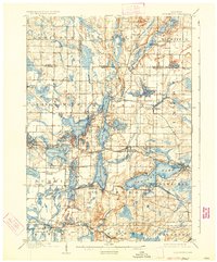
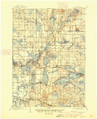
1909 Map of Oconomowoc
USGS Topo · Published 1934About this map
Pewaukee Lake and the interconnected waters of the Oconomowoc River define this glacial landscape at a time when the region was becoming a destination for recreation and institutional settlement. Notable sites like the Nashotah Mission and the State Sanitarium on the slopes of Lapham Hill highlight the area's development beyond simple agriculture. The map captures the specialized economy of the era, from the State Fish Hatchery near Delafield to the lakeside leisure found at Waukesha Beach. Along the Chicago Milwaukee and St Paul railroad, small communities and stops such as Lakeside Sta and Nashotah provide insight into early 20th-century transit patterns. The northern reaches are punctuated by prominent landmarks like Holy Hill, while the Bark River and Ashippun River drainage systems illustrate the natural hydrology that supported early milling and settlement at Monterey and Merton.
Find a feature on this map
75 named features on this map. Tap any name to fly to it.
Don’t see what you’re looking for? This feature index may not catch every label — zoom into the map to look around manually.
Map Details
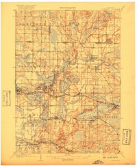
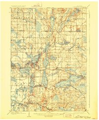
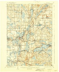
Editions of this 1909 Oconomowoc Map
6 editions found

Other maps of this area

1891 · Muskego
USGS Topo · 1:62,500

1892 · Waukesha
USGS Topo · 1:62,500

1892 · Watertown
USGS Topo · 1:62,500

1892 · Oconomowoc
USGS Topo · 1:62,500

1892 · Whitewater
USGS Topo · 1:62,500

1892 · Eagle
USGS Topo · 1:62,500

1893 · Whitewater
USGS Topo · 1:62,500

1894 · Watertown
USGS Topo · 1:62,500

1894 · Eagle
USGS Topo · 1:62,500

1897 · Eagle
USGS Topo · 1:62,500