
2023 Map of Oppenheim
USGS Topo · Published 2023About this map
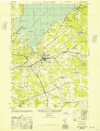
Oppenheim and the surrounding borderlands of Fulton and Montgomery counties are defined by a landscape of small, family-named crossroads and numerous rural burial grounds. The territory is crisscrossed by several waterways, including Middle Sprite Creek, Little Sprite Creek, and Crum Creek, which flow through the hills of Sweet Hill and Twin Church Hill. These drainage patterns shaped the early development of hamlets like Lotville, Middle Sprite, and Kringsbush. Of particular interest to genealogists are the many small cemeteries scattered across the landscape, such as Klock Cem, Brown Cem, and the Dutch Reformed Church Cem. In the southern portion of the sheet, the terrain drops towards the valley floor near St. Johnsville and East Creek, where East Canada Lake and Failing Hill overlook the county line.
Find a feature on this map
88 named features on this map. Tap any name to fly to it.
Don’t see what you’re looking for? This feature index may not catch every label — zoom into the map to look around manually.
Map Details
Editions of this 2023 Oppenheim Map
This is the sole edition of this map. No revisions or reprints were ever made.
Historical Maps of Rasbach Corner Through Time
32 maps found

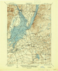
1899 Broadalbin
Fulton County, NY

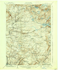
1901 Lassellsville
Fulton County, NY
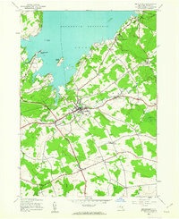
1902 Broadalbin
Fulton County, NY
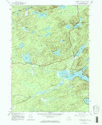
1903 Lassellsville
Fulton County, NY
1945 Broadalbin
Fulton County, NY
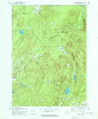
1945 Canada Lake
Fulton County, NY
1945 Jackson Summit
Fulton County, NY

1945 Lassellsville
Fulton County, NY
1945 Lassellsville
Fulton County, NY

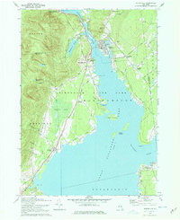
1945 Northville
Fulton County, NY
1945 Oppenheim
Fulton County, NY
1945 Stratford
Fulton County, NY
1946 Broadalbin
Fulton County, NY
1946 Canada Lake
Fulton County, NY
1946 Jackson Summit
Fulton County, NY
1946 Lassellsville
Fulton County, NY
1946 Northville
Fulton County, NY
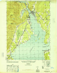
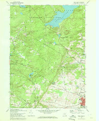
1946 Peck Lake
Fulton County, NY
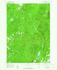
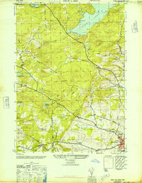
1962 Peck Lake
Fulton County, NY
1970 Broadalbin
Fulton County, NY
1970 Jackson Summit
Fulton County, NY
1970 Northville
Fulton County, NY
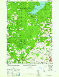
1970 Peck Lake
Fulton County, NY
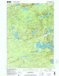
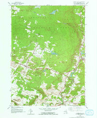
1997 Canada Lake
Fulton County, NY

2023 Broadalbin
Fulton County, NY

2023 Canada Lake
Fulton County, NY

2023 Jackson Summit
Fulton County, NY

2023 Lassellsville
Fulton County, NY

2023 Northville
Fulton County, NY
2023 Oppenheim
Fulton County, NY

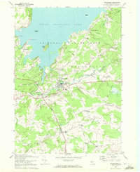
2023 Peck Lake
Fulton County, NY

2023 Stratford
Fulton County, NY