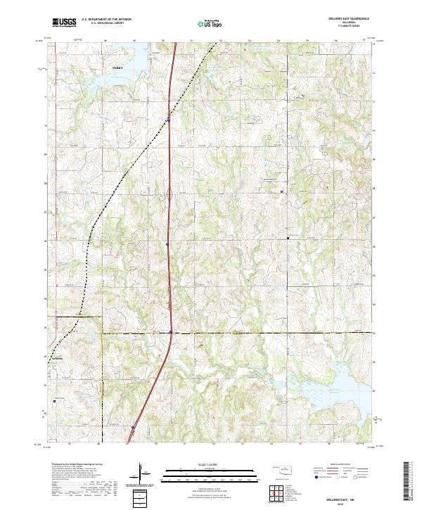
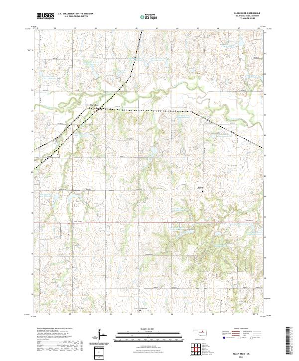
2022 Map of Orlando East
USGS Topo · Published 2022This historical map portrays the area of Orlando East in 2022, primarily covering Noble County as well as portions of Logan County and Payne County. Featuring a scale of 1:24000, this map provides a highly detailed snapshot of the terrain, roads, buildings, counties, and historical landmarks in the Orlando East region at the time. Published in 2022, it is the sole known edition of this map.
Find a feature on this map
57 named features on this map. Tap any name to fly to it.
Don’t see what you’re looking for? This feature index may not catch every label — zoom into the map to look around manually.
Map Details
Editions of this 2022 Orlando East Map
This is the sole edition of this map. No revisions or reprints were ever made.
Historical Maps of Logan County Through Time
19 maps found
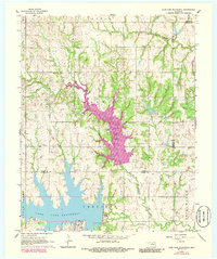
1966 Lake Carl Blackwell
Noble County, OK
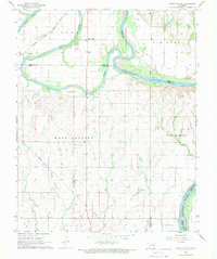
1968 Ponca City SE
Noble County, OK
1968 Tonkawa SE
Noble County, OK
1972 Black Bear
Noble County, OK
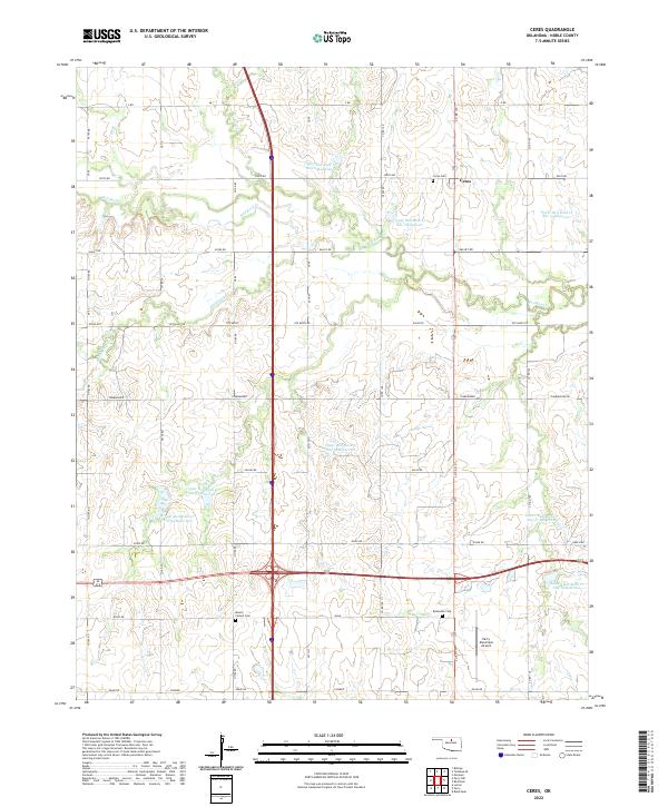
1972 Ceres
Noble County, OK
1972 Morrison NE
Noble County, OK
1972 Perry NW
Noble County, OK
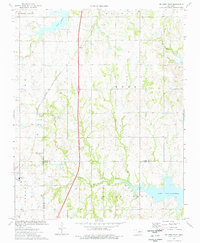
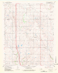
1974 Orlando East
Noble County, OK
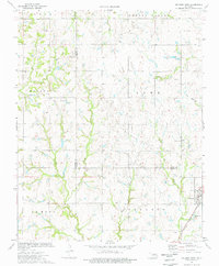
1974 Orlando West
Noble County, OK
1979 Perry NW
Noble County, OK
2022 Black Bear
Noble County, OK
2022 Ceres
Noble County, OK
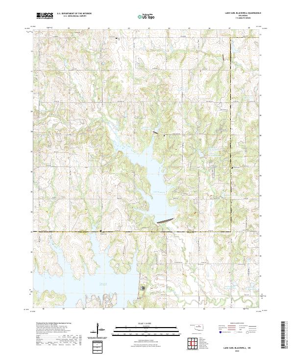
2022 Lake Carl Blackwell
Noble County, OK
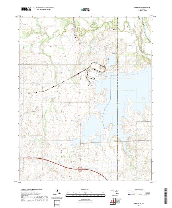
2022 Morrison NE
Noble County, OK
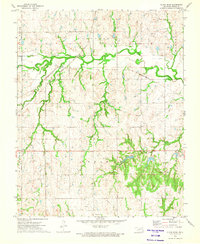
2022 Orlando East
Noble County, OK
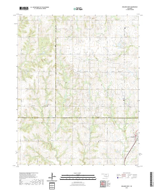
2022 Orlando West
Noble County, OK
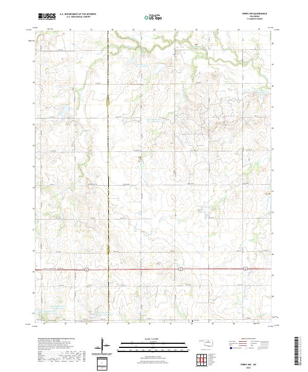
2022 Perry NW
Noble County, OK
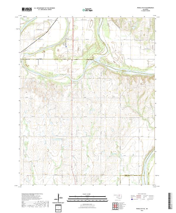
2022 Ponca City SE
Noble County, OK
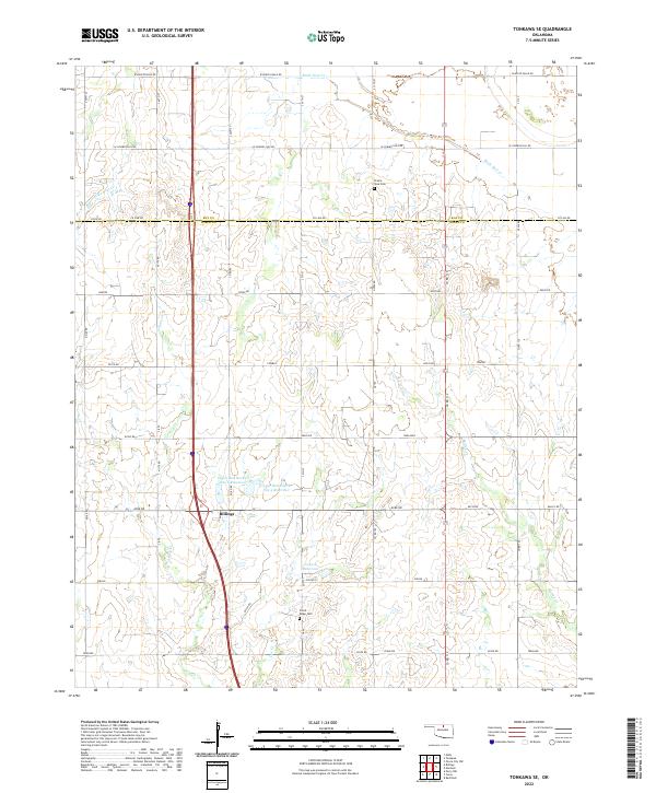
2022 Tonkawa SE
Noble County, OK