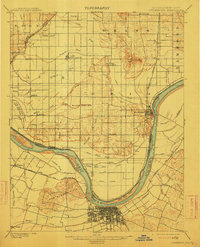
1901 Map of Owensboro
USGS Topo · Published 1912About this map
Owensboro sits at a critical bend in the Ohio River at the turn of the century, serving as a prominent regional hub for transportation and commerce. Across the water in Indiana, the town of Rockport occupies the high ground above the Pup Creek Bar. The landscape is defined by the complex hydrology of the river bottomlands, where an intricate network of drainage features like the Hooppole Ditch and Forked Pond Ditch manage the wet terrain. Significant landmarks such as the Willow Pond Bed and the Bon Harbor Hills provide topographic variety against the expansive flats.
Find a feature on this map
67 named features on this map. Tap any name to fly to it.
Don’t see what you’re looking for? This feature index may not catch every label — zoom into the map to look around manually.
Map Details
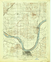
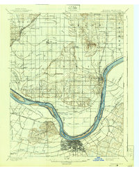
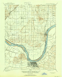
Editions of this 1901 Owensboro Map
5 editions found
Other maps of this area

1900 · St Meinrad
USGS Topo · 1:62,500

1900 · De Gonia Springs
USGS Topo · 1:62,500

1901 · Owensboro
USGS Topo · 1:62,500

1902 · Ditney
USGS Topo · 1:125,000

1902 · Degonia Springs
USGS Topo · 1:62,500

1902 · Boonville
USGS Topo · 1:62,500

1903 · St. Meinrad
USGS Topo · 1:62,500

1903 · Tell City
USGS Topo · 1:62,500

1905 · Newburg
USGS Topo · 1:62,500

1906 · Sutherland
USGS Topo · 1:62,500