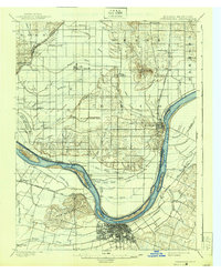
1901 Map of Owensboro
USGS Topo · Published 1939About this map
Owensboro and Rockport anchor this survey of the Ohio River valley at the turn of the century, illustrating a landscape defined by industrial river commerce and intricate drainage networks. The Kentucky side is dominated by the sprawling street grid of Owensboro and the nearby Bon Harbor Hills, while the Indiana shore features the Southern R.R. (Rockport Br.) terminating at the riverside bluffs. The interior terrain is a complex system of sloughs, ditches, and basins, including the notable Willow Pond Bed and Rose Pond Ditch, reflecting the historical efforts to manage the wetlands for agriculture and settlement. Small communities such as Richland City, Lake Mills, and Patronville are connected by a web of wagon roads and rails, including the Louisville Henderson and St. Louis R.R. which skirts the river's southern bank near Stanley. Large river features like French Island and Little Hurricane Island mark the shifting channel that divides Spencer and Daviess counties.
Find a feature on this map
72 named features on this map. Tap any name to fly to it.
Don’t see what you’re looking for? This feature index may not catch every label — zoom into the map to look around manually.
Map Details
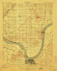
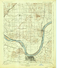
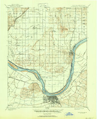
Editions of this 1901 Owensboro Map
5 editions found
Other maps of this area

1900 · St Meinrad
USGS Topo · 1:62,500

1900 · De Gonia Springs
USGS Topo · 1:62,500

1901 · Owensboro
USGS Topo · 1:62,500

1902 · Ditney
USGS Topo · 1:125,000

1902 · Degonia Springs
USGS Topo · 1:62,500

1902 · Boonville
USGS Topo · 1:62,500

1903 · St. Meinrad
USGS Topo · 1:62,500

1903 · Tell City
USGS Topo · 1:62,500

1905 · Newburg
USGS Topo · 1:62,500

1906 · Sutherland
USGS Topo · 1:62,500