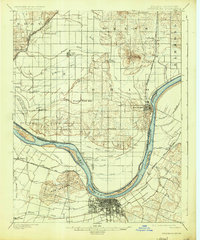
1901 Map of Owensboro
USGS Topo · Published 1925About this map
The Ohio River dictates the landscape of this river-and-rail hub at the turn of the century, carving a sharp oxbow that separates Owensboro, Kentucky, from the Indiana shore. The city's street grid sits at the southern bend, flanked by the Bon Harbor Hills and served by the Louisville Henderson and St. Louis R.R. Across the water, the lowlands of Spencer County, Indiana, reveal an intricate network of drainage ditches and ponds, including the extensive Willow Pond Bed and the Long Pond Ditch. This era shows the dominance of river navigation and early rail, with settlements like Rockport perched on the Indiana bluffs above the Pup Creek Bar. The map provides detailed evidence of early settlement patterns through smaller communities like Richland City, Lake Mills, and Patronville, which relied on the fertile but flood-prone bottomlands along the state boundary.
Find a feature on this map
63 named features on this map. Tap any name to fly to it.
Don’t see what you’re looking for? This feature index may not catch every label — zoom into the map to look around manually.
Map Details
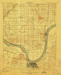
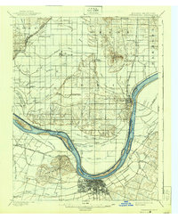
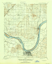
Editions of this 1901 Owensboro Map
5 editions found
Other maps of this area

1900 · St Meinrad
USGS Topo · 1:62,500

1900 · De Gonia Springs
USGS Topo · 1:62,500

1901 · Owensboro
USGS Topo · 1:62,500

1902 · Ditney
USGS Topo · 1:125,000

1902 · Degonia Springs
USGS Topo · 1:62,500

1902 · Boonville
USGS Topo · 1:62,500

1903 · St. Meinrad
USGS Topo · 1:62,500

1903 · Tell City
USGS Topo · 1:62,500

1905 · Newburg
USGS Topo · 1:62,500

1906 · Sutherland
USGS Topo · 1:62,500