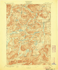
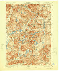
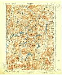
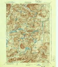
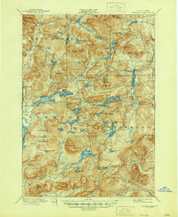
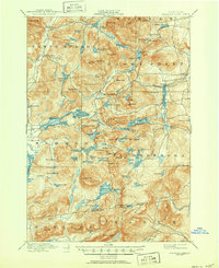
1897 Map of Paradox Lake
USGS Topo · Published 1906About this map
Hammondville and Ironville anchor this 1895 survey of the Adirondack interior, revealing a landscape defined by 19th-century resource extraction and early mountain tourism. The terrain is marked by a complex network of peaks including Pharaoh Mt. and Nippletop Mt., with the drainage of the Schroon River and the expansive Lake Paradox serving as primary landmarks. An industrial presence is visible in the southeastern corner at Graphite, while the infrastructure of the late 1800s is evidenced by the C. and H. R. R. Abandoned line near Ironville. Small settlements like Schroon Falls, Severance, and Chilson appear as isolated hubs along emerging mountain roads. The map also captures several distinct water bodies such as Hammond Pond and Berrymill Pond, illustrating the intricate hydrology that supported local iron and graphite interests before the region's full shift toward conservation.
Find a feature on this map
125 named features on this map. Tap any name to fly to it.
Don’t see what you’re looking for? This feature index may not catch every label — zoom into the map to look around manually.
Map Details
Editions of this 1897 Paradox Lake Map
10 editions found

Other maps of this area

1893 · Whitehall
USGS Topo · 1:62,500

1894 · Elizabethtown
USGS Topo · 1:62,500

1894 · Port Henry
USGS Topo · 1:62,500

1894 · Ticonderoga
USGS Topo · 1:62,500

1895 · Whitehall
USGS Topo · 1:62,500

1895 · Elizabethtown
USGS Topo · 1:62,500

1895 · North Creek
USGS Topo · 1:62,500

1895 · Mt. Marcy
USGS Topo · 1:62,500

1895 · Paradox Lake
USGS Topo · 1:62,500

1896 · Ticonderoga
USGS Topo · 1:62,500