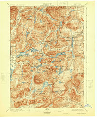
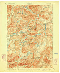
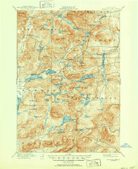
1897 Map of Paradox Lake
USGS Topo · Published 1925About this map
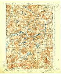
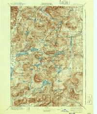
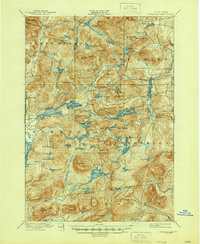
Hammondville stands as a primary inland hub on this Adirondack survey, situated near the headwaters of Paradox brook. The landscape is defined by an intricate network of narrow lakes and sharp peaks, where the Lake Paradox waters flow westward to meet the Schroon River at Severance. The presence of an AND H. R. R. Abandoned line winding toward Trouville and Sherman Corners points to the early industrial cycles of the late nineteenth century, likely tied to local mining or timber interests. To the south, the settlement of Graphite and the cluster of ponds surrounding Pharaoh Mt. reveal a terrain heavily shaped by glaciated valleys. Local history researchers can trace old mountain roads and paths connecting North Hudson and Schroon Falls to isolated highland ponds like Bass Lake and Hatch Pond.
Find a feature on this map
123 named features on this map. Tap any name to fly to it.
Don’t see what you’re looking for? This feature index may not catch every label — zoom into the map to look around manually.
Map Details
Editions of this 1897 Paradox Lake Map
10 editions found

Other maps of this area

1893 · Whitehall
USGS Topo · 1:62,500

1894 · Elizabethtown
USGS Topo · 1:62,500

1894 · Port Henry
USGS Topo · 1:62,500

1894 · Ticonderoga
USGS Topo · 1:62,500

1895 · Whitehall
USGS Topo · 1:62,500

1895 · Elizabethtown
USGS Topo · 1:62,500

1895 · North Creek
USGS Topo · 1:62,500

1895 · Mt. Marcy
USGS Topo · 1:62,500

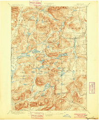
1895 · Paradox Lake
USGS Topo · 1:62,500

1896 · Ticonderoga
USGS Topo · 1:62,500