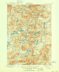
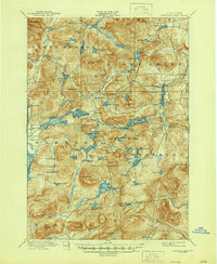
1897 Map of Paradox Lake
USGS Topo · Published 1950About this map
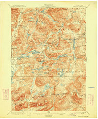
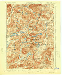
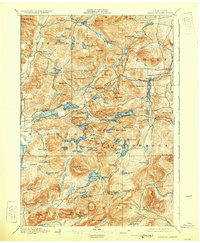
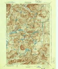
Hammondville and Ironville anchor the industrial and social landscape of the eastern Adirondacks in this late nineteenth-century survey. The terrain is defined by a dense network of water bodies and peaks, including Paradox Lake and the prominent Pharaoh Mt. to the south. The presence of the C. and H. R. R. railroad, noting segments as abandoned, indicates a shifting economic reality as mining and timber industries evolved during this era. Small settlements like Paradox and Severance cluster near the narrows, while the southern reaches towards Graphite suggest the specialized mineral extraction that once drove the local economy. From the winding Schroon River in the west to the heights of Blue Ridge in the north, the map documents a region of high-country settlements and isolated mountain camps connected by primitive roads and waterways.
Find a feature on this map
133 named features on this map. Tap any name to fly to it.
Don’t see what you’re looking for? This feature index may not catch every label — zoom into the map to look around manually.
Map Details
Editions of this 1897 Paradox Lake Map
10 editions found

Other maps of this area

1893 · Whitehall
USGS Topo · 1:62,500

1894 · Elizabethtown
USGS Topo · 1:62,500

1894 · Port Henry
USGS Topo · 1:62,500

1894 · Ticonderoga
USGS Topo · 1:62,500

1895 · Whitehall
USGS Topo · 1:62,500

1895 · Elizabethtown
USGS Topo · 1:62,500

1895 · North Creek
USGS Topo · 1:62,500

1895 · Mt. Marcy
USGS Topo · 1:62,500

1895 · Paradox Lake
USGS Topo · 1:62,500

1896 · Ticonderoga
USGS Topo · 1:62,500