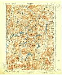
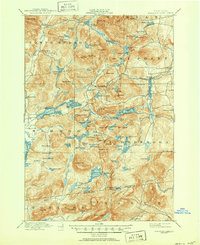
1897 Map of Paradox Lake
USGS Topo · Published 1930About this map
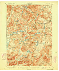
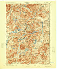
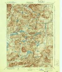
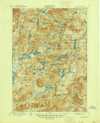
Hammondville and Ironville anchor the industrial and social landscape of this Essex County region as it appeared in the late 19th century. The presence of the Grand H. R. R. Abandoned line near Putnam Creek points to an era of changing transport and extraction, while settlements like Graphite reflect the area's specific mineral history. The terrain is defined by a dense network of high peaks and water bodies, including Pharaoh Mt. and the enigmatic Grizzly Ocean.
Find a feature on this map
126 named features on this map. Tap any name to fly to it.
Don’t see what you’re looking for? This feature index may not catch every label — zoom into the map to look around manually.
Map Details
Editions of this 1897 Paradox Lake Map
10 editions found

Other maps of this area

1893 · Whitehall
USGS Topo · 1:62,500

1894 · Elizabethtown
USGS Topo · 1:62,500

1894 · Port Henry
USGS Topo · 1:62,500

1894 · Ticonderoga
USGS Topo · 1:62,500

1895 · Whitehall
USGS Topo · 1:62,500

1895 · Elizabethtown
USGS Topo · 1:62,500

1895 · North Creek
USGS Topo · 1:62,500

1895 · Mt. Marcy
USGS Topo · 1:62,500

1895 · Paradox Lake
USGS Topo · 1:62,500

1896 · Ticonderoga
USGS Topo · 1:62,500