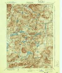
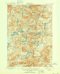
1897 Map of Paradox Lake
USGS Topo · Published 1937About this map
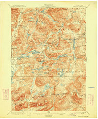
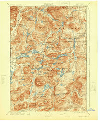
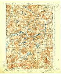
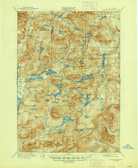
The dense Adirondack topography of the Essex and Warren county line is defined by a complex network of glacial ponds and prominent peaks, surveyed here by Frank Sutton and E.B.Clark. The landscape centers on the distinctive East-West orientation of Paradox Lake, while the southern portion of the sheet is dominated by the wilderness surrounding Pharaoh Lake and the towering Pharaoh Mt. Industrial activity of the late nineteenth century is evidenced by the presence of Graphite and Ironville, the latter connected to an early transportation corridor labeled as the A. and H. R. R. (Abandoned). Small settlements such as Hammondville and Severance dot the terrain, which transitions from the valley of the Schroon River to the high ridges of Nippletop Mt. and Bloody Mt., reflecting the isolated settlement patterns of the North Woods before modern development.
Find a feature on this map
114 named features on this map. Tap any name to fly to it.
Don’t see what you’re looking for? This feature index may not catch every label — zoom into the map to look around manually.
Map Details
Editions of this 1897 Paradox Lake Map
10 editions found

Other maps of this area

1893 · Whitehall
USGS Topo · 1:62,500

1894 · Elizabethtown
USGS Topo · 1:62,500

1894 · Port Henry
USGS Topo · 1:62,500

1894 · Ticonderoga
USGS Topo · 1:62,500

1895 · Whitehall
USGS Topo · 1:62,500

1895 · Elizabethtown
USGS Topo · 1:62,500

1895 · North Creek
USGS Topo · 1:62,500

1895 · Mt. Marcy
USGS Topo · 1:62,500

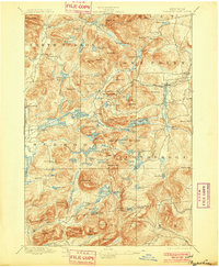
1895 · Paradox Lake
USGS Topo · 1:62,500

1896 · Ticonderoga
USGS Topo · 1:62,500