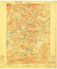
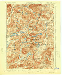
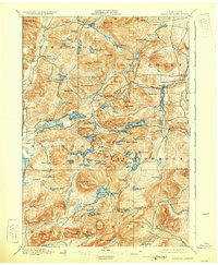
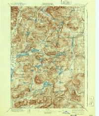
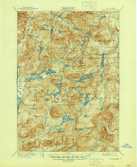
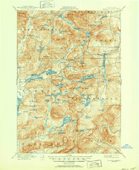
1897 Map of Paradox Lake
USGS Topo · Published 1909About this map
The Adirondack wilderness of the late nineteenth century is meticulously documented here, showing a landscape where isolated industrial outposts and early tourism began to intersect. Hammondville stands as a primary hub of activity, connected by the A. and H. R. R. to Ironville in the east. This short-line rail corridor reflects the region's intense iron mining history, which fueled local economies before the transition to more modern industries.
Find a feature on this map
129 named features on this map. Tap any name to fly to it.
Don’t see what you’re looking for? This feature index may not catch every label — zoom into the map to look around manually.
Map Details
Editions of this 1897 Paradox Lake Map
10 editions found

Other maps of this area

1893 · Whitehall
USGS Topo · 1:62,500

1894 · Elizabethtown
USGS Topo · 1:62,500

1894 · Port Henry
USGS Topo · 1:62,500

1894 · Ticonderoga
USGS Topo · 1:62,500

1895 · Whitehall
USGS Topo · 1:62,500

1895 · Elizabethtown
USGS Topo · 1:62,500

1895 · North Creek
USGS Topo · 1:62,500

1895 · Mt. Marcy
USGS Topo · 1:62,500

1895 · Paradox Lake
USGS Topo · 1:62,500

1896 · Ticonderoga
USGS Topo · 1:62,500