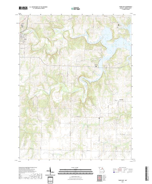
2021 Map of Paris East
USGS Topo · Published 2021About this map
Paris serves as the regional hub at the western edge of this Monroe County landscape, anchored by the Monroe County Courthouse. The terrain is defined by the convergence of the Middle Fork Salt River and the Elk Fork Salt River, which feed into the sprawling waters of Mark Twain Lake to the east. This transition from river valley to reservoir has fundamentally reshaped the local geography, submerged portions of the old drainage network while preserving higher ground where rural communities like Strother persist. Genealogists and local historians can find several established burial grounds scattered across the countryside, including Walnut Grove Cem, Scobee Cem, Pleasant Hill Cem, and New Hope Cem. Smaller watercourses such as Jordan Br, Turkey Cr, and Coon Cr navigate the dissected uplands, providing a detailed view of the natural drainage patterns that guided early settlement along the county road system.
Find a feature on this map
51 named features on this map. Tap any name to fly to it.
Don’t see what you’re looking for? This feature index may not catch every label — zoom into the map to look around manually.
Map Details
Editions of this 2021 Paris East Map
This is the sole edition of this map. No revisions or reprints were ever made.
Other maps of this area

1890 · Mexico
USGS Topo · 1:125,000

1890 · Moberly
USGS Topo · 1:125,000

1903 · Palmyra
USGS Topo · 1:125,000

1945 · Florida
USGS Topo · 1:62,500

1948 · Quincy
USGS Topo · 1:250,000

1953 · Moberly
USGS Topo · 1:250,000

1954 · Moberly
USGS Topo · 1:250,000

1956 · Quincy
USGS Topo · 1:250,000

1957 · Moberly
USGS Topo · 1:250,000

1960 · Moberly
USGS Topo · 1:250,000