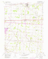
1958 Map of Pataskala
USGS Topo · Published 1975About this map
Pataskala and the surrounding townships of Lima, Harrison, and Etna are captured here during a period of transition, where mid-century rural life meets the expansion of transportation corridors. The Penn Central rail line runs across the northern reach, connecting Columbia Center and Pataskala to the broader regional economy. Further south, the National Road and the developing Interstate system cut through the landscape, influencing the growth of Etna and Wagram.
Find a feature on this map
34 named features on this map. Tap any name to fly to it.
Don’t see what you’re looking for? This feature index may not catch every label — zoom into the map to look around manually.
Map Details
Editions of this 1958 Pataskala Map
4 editions found
Other maps of this area

1902 · Westerville
USGS Topo · 1:62,500

1904 · Westerville
USGS Topo · 1:62,500

1907 · Thurston
USGS Topo · 1:62,500

1908 · Granville
USGS Topo · 1:62,500

1909 · Thurston
USGS Topo · 1:62,500

1910 · Granville
USGS Topo · 1:62,500

1925 · East Columbus
USGS Topo · 1:62,500

1943 · East Columbus
USGS Topo · 1:62,500

1947 · Columbus
USGS Topo · 1:250,000

1950 · Marion
USGS Topo · 1:250,000