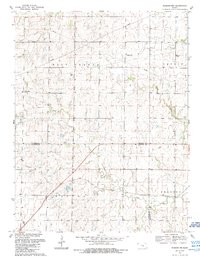
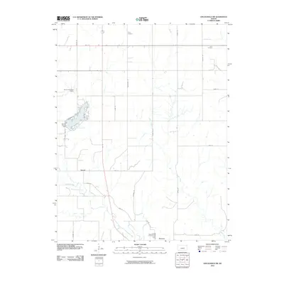
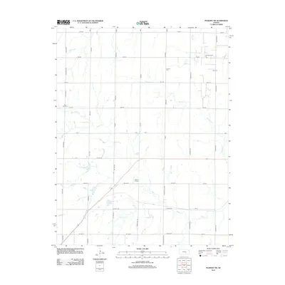
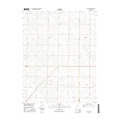
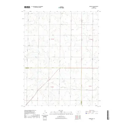
1989 Map of Peabody NW
USGS Topo · Published 1990About this map
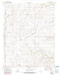
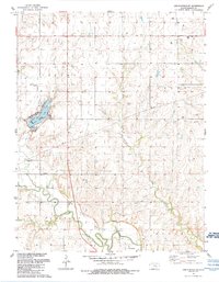
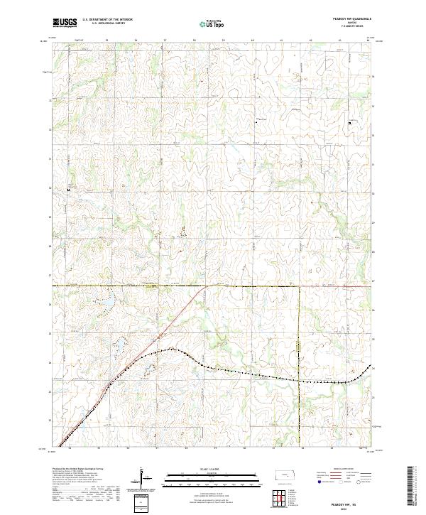
Doyle Creek winds through the central Kansas prairie in this 1980s landscape where Marion and Harvey counties meet. The region is defined by a series of north-to-south drainage systems, including Spring Creek, which are interspersed with agricultural fields and specialized petroleum infrastructure. Evidence of energy extraction is localized near the Oil Field and various Oil Wells in the northeastern section of the map, illustrating the region's mixed economy of ranching and oil. Genealogists and local historians will find several well-preserved rural burial sites, such as Dunkard Cem, Catlin Cem, and Doyle Valley Cem. A prominent Radio Tower stands as a modern landmark on the higher ground of the East Branch terrain, while the jurisdictional boundary of Marion and Harvey Counties bisects the southern portion of the quadrangle.
Find a feature on this map
14 named features on this map. Tap any name to fly to it.
Don’t see what you’re looking for? This feature index may not catch every label — zoom into the map to look around manually.
Map Details
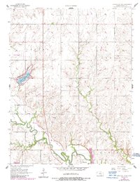
Editions of this 1989 Peabody NW Map
This is the sole edition of this map. No revisions or reprints were ever made.
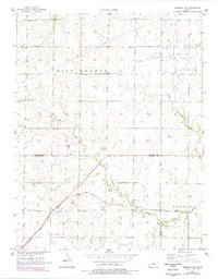
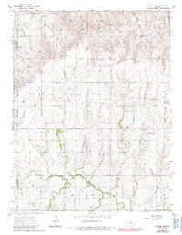
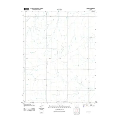
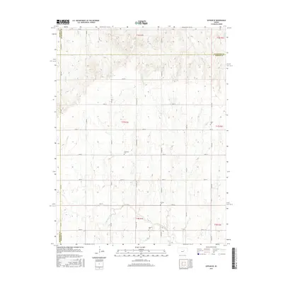
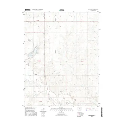
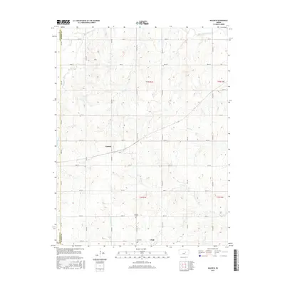
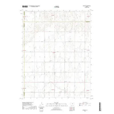
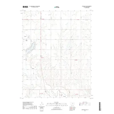
Historical Maps of Harvey County Through Time
26 maps found
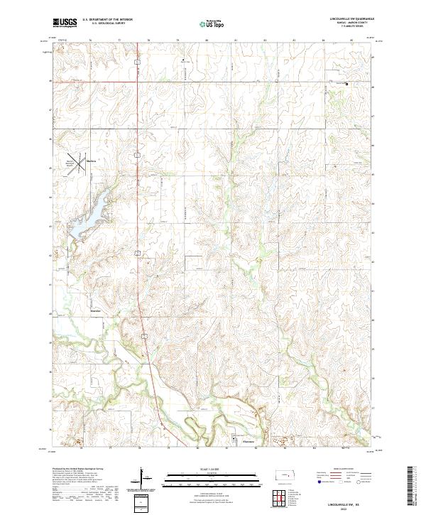
1957 Lincolnville SW
Marion County, KS
1957 Peabody NW
Marion County, KS
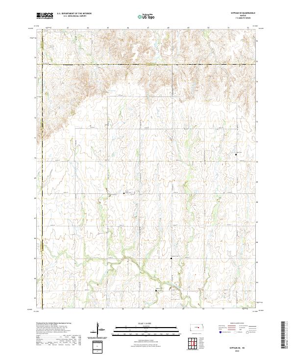
1964 Gypsum SE
Marion County, KS
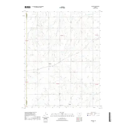
1971 Waldeck
Marion County, KS
1989 Lincolnville SW
Marion County, KS
1989 Peabody NW
Marion County, KS
2009 Gypsum SE
Marion County, KS
2009 Waldeck
Marion County, KS
2010 Lincolnville SW
Marion County, KS
2010 Peabody NW
Marion County, KS
2012 Gypsum SE
Marion County, KS
2012 Lincolnville SW
Marion County, KS
2012 Peabody NW
Marion County, KS
2012 Waldeck
Marion County, KS
2015 Gypsum SE
Marion County, KS
2015 Lincolnville SW
Marion County, KS
2015 Peabody NW
Marion County, KS
2015 Waldeck
Marion County, KS
2018 Gypsum SE
Marion County, KS
2018 Lincolnville SW
Marion County, KS
2018 Peabody NW
Marion County, KS
2018 Waldeck
Marion County, KS
2022 Gypsum SE
Marion County, KS
2022 Lincolnville SW
Marion County, KS
2022 Peabody NW
Marion County, KS
2022 Waldeck
Marion County, KS