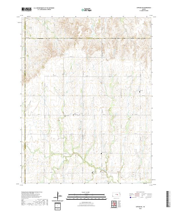
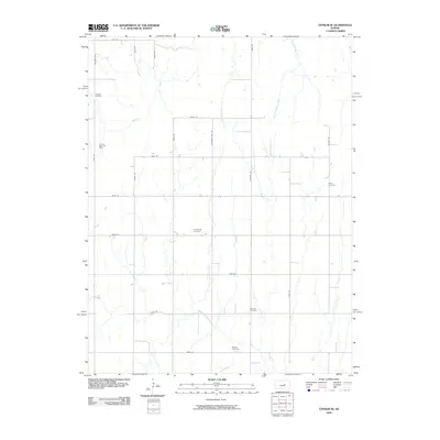
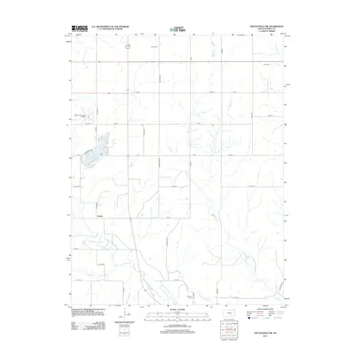
2022 Map of Gypsum SE
USGS Topo · Published 2022About this map
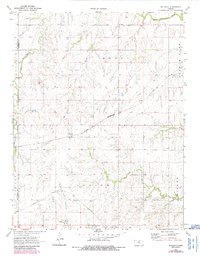
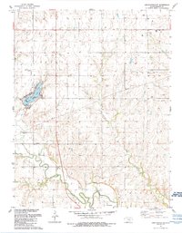
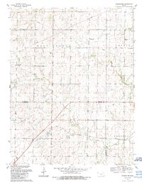
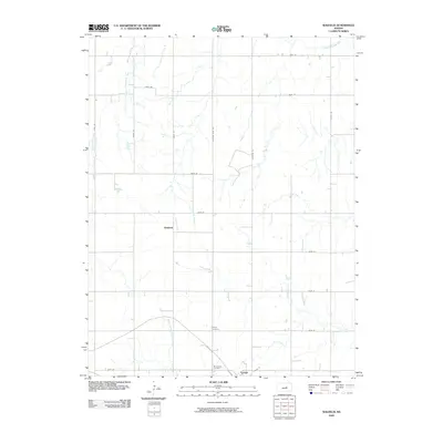
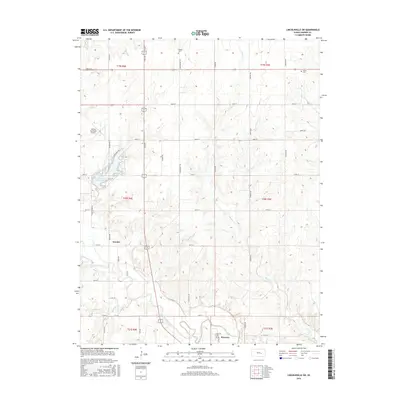
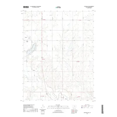
The agrarian landscape of central Kansas is meticulously documented here where the borders of Saline, Dickinson, and McPherson counties meet. The small settlement of Elm Springs sits near the headwaters of the regional drainage system, characterized by the winding paths of W Holland Cr, E Holland Cr, and Hobbs Cr. These waterways carve subtle relief into the plains, eventually feeding southward into the N Cottonwood River and Perry Cr.
Find a feature on this map
41 named features on this map. Tap any name to fly to it.
Don’t see what you’re looking for? This feature index may not catch every label — zoom into the map to look around manually.
Map Details
Editions of this 2022 Gypsum SE Map
This is the sole edition of this map. No revisions or reprints were ever made.
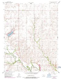
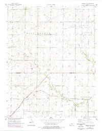
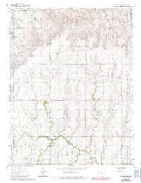
Historical Maps of Saline County Through Time
26 maps found
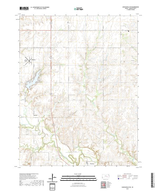
1957 Lincolnville SW
Marion County, KS
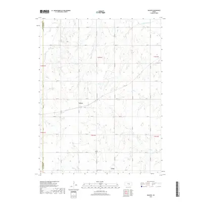
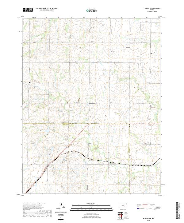
1957 Peabody NW
Marion County, KS
1964 Gypsum SE
Marion County, KS
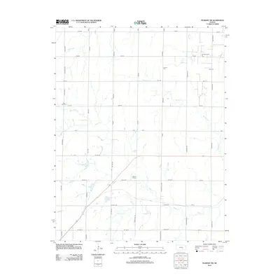
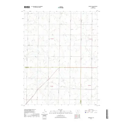
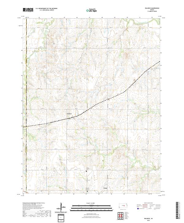
1971 Waldeck
Marion County, KS
1989 Lincolnville SW
Marion County, KS
1989 Peabody NW
Marion County, KS
2009 Gypsum SE
Marion County, KS
2009 Waldeck
Marion County, KS
2010 Lincolnville SW
Marion County, KS
2010 Peabody NW
Marion County, KS
2012 Gypsum SE
Marion County, KS
2012 Lincolnville SW
Marion County, KS
2012 Peabody NW
Marion County, KS
2012 Waldeck
Marion County, KS
2015 Gypsum SE
Marion County, KS
2015 Lincolnville SW
Marion County, KS
2015 Peabody NW
Marion County, KS
2015 Waldeck
Marion County, KS
2018 Gypsum SE
Marion County, KS
2018 Lincolnville SW
Marion County, KS
2018 Peabody NW
Marion County, KS
2018 Waldeck
Marion County, KS
2022 Gypsum SE
Marion County, KS
2022 Lincolnville SW
Marion County, KS
2022 Peabody NW
Marion County, KS
2022 Waldeck
Marion County, KS