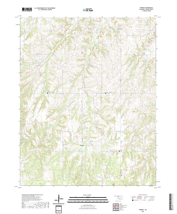
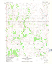
2022 Map of Phroso
USGS Topo · Published 2022About this map
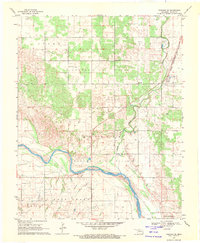
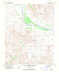
The tiny settlement of Phroso sits at the heart of this landscape in Major County, Oklahoma, where the prairie is deeply etched by a network of seasonal drainages. The local geography is defined by the branching arms of Griever Cr and Barney Cr, with their various tributaries like Middle Griever Cr and W Br Barney Cr carving intricate patterns through the township. This modern survey reflects a rural endurance, where the original land-survey grid of roads—including n2320 RD and e0510 RD—continues to dictate the rhythm of the territory.
Find a feature on this map
29 named features on this map. Tap any name to fly to it.
Don’t see what you’re looking for? This feature index may not catch every label — zoom into the map to look around manually.
Map Details
Editions of this 2022 Phroso Map
This is the sole edition of this map. No revisions or reprints were ever made.
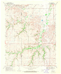
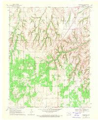
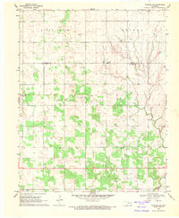
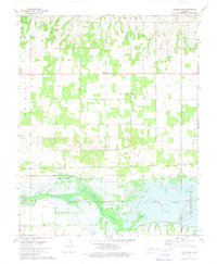
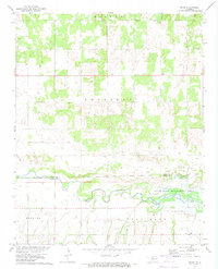
Historical Maps of Phroso Through Time
22 maps found
1969 Belva
Major County, OK
1969 Cedardale
Major County, OK
1969 Fairview NE
Major County, OK
1969 Fairview SE
Major County, OK
1969 Glass Mountains
Major County, OK
1969 Glass Mountains SW
Major County, OK
1969 Phroso
Major County, OK
1969 Togo
Major County, OK
1972 Canton NW
Major County, OK
1972 Orion
Major County, OK
1982 Ringwood SW
Major County, OK
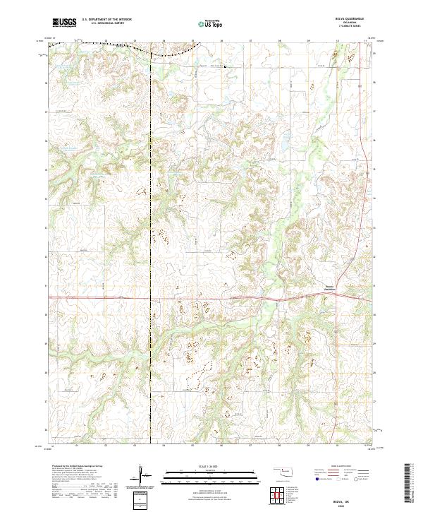
2022 Belva
Major County, OK
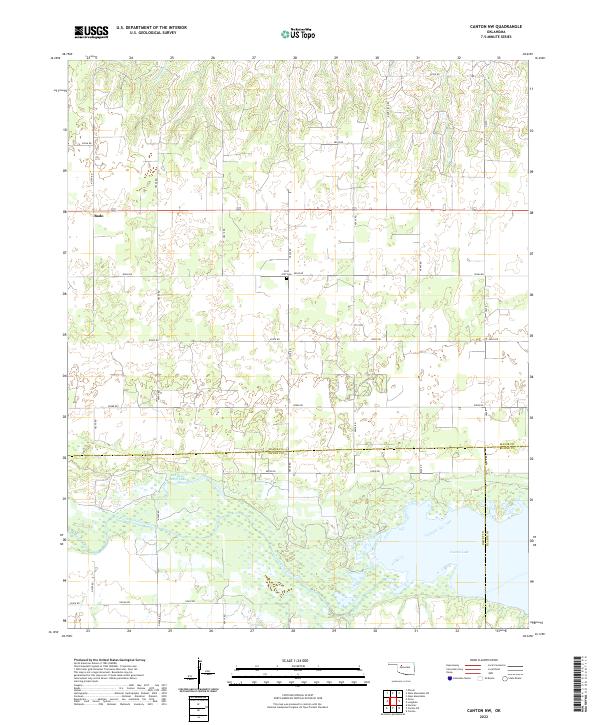
2022 Canton NW
Major County, OK
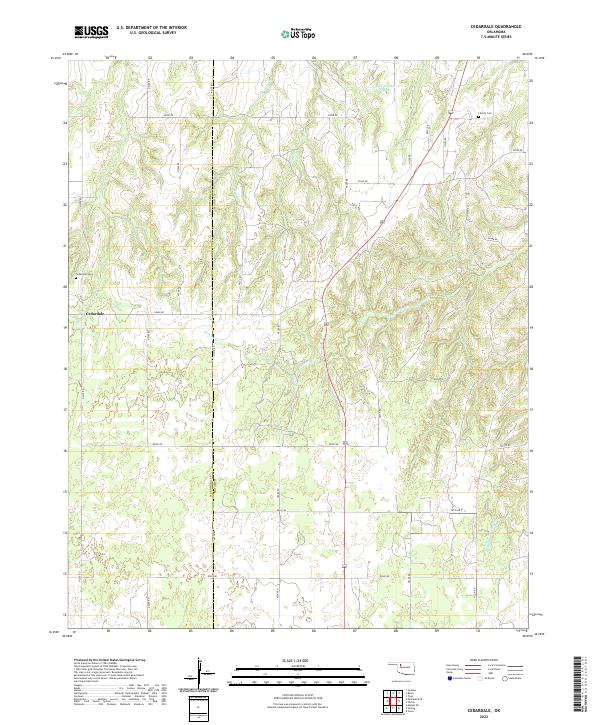
2022 Cedardale
Major County, OK
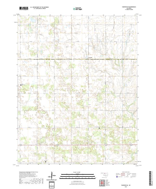
2022 Fairview NE
Major County, OK
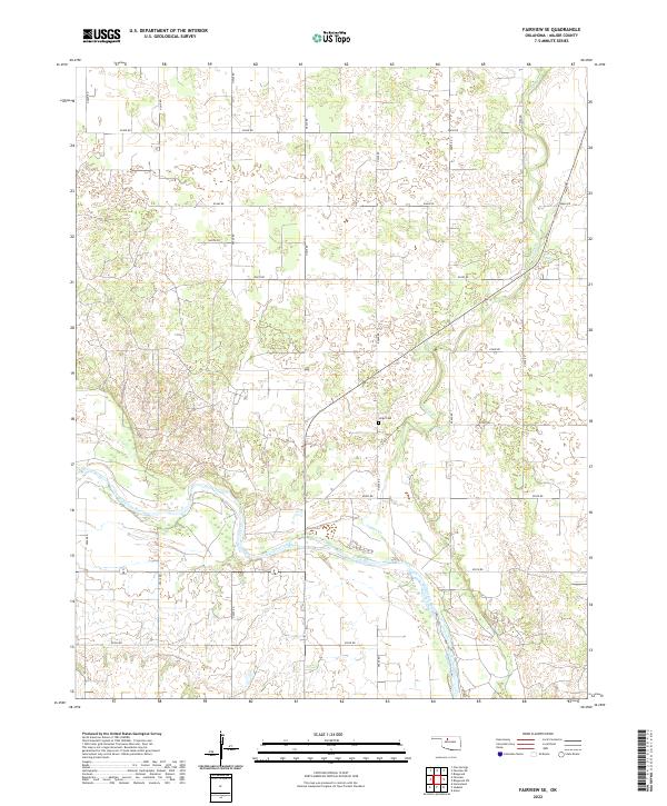
2022 Fairview SE
Major County, OK
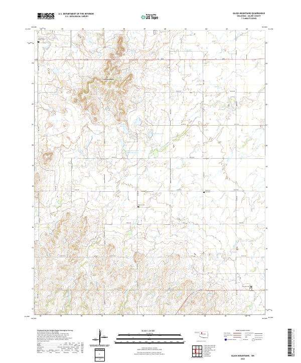
2022 Glass Mountains
Major County, OK
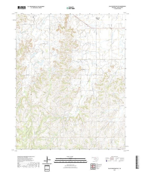
2022 Glass Mountains SW
Major County, OK
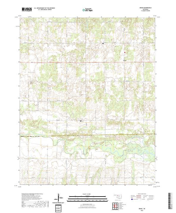
2022 Orion
Major County, OK
2022 Phroso
Major County, OK
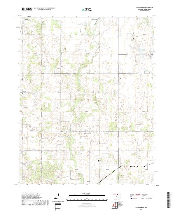
2022 Ringwood SW
Major County, OK
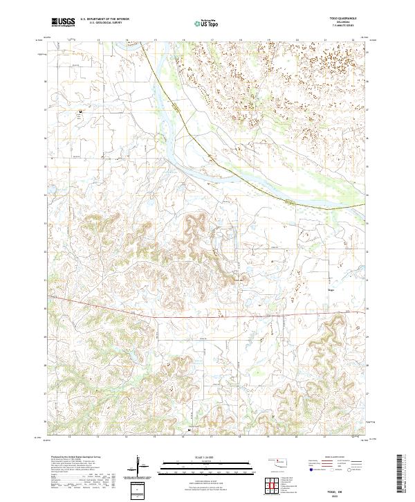
2022 Togo
Major County, OK