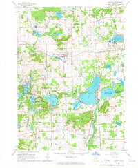
1965 Map of Pinckney
USGS Topo · Published 1967About this map
Pinckney serves as the primary hub in this mid-1960s landscape, where the Grand Trunk Western Railroad bisects the town near the Mill Pond. The surrounding region is defined by a massive glacial lake system, stretching from the northern Bently Lake down to the sprawling Portage Lake and Base Line Lake on the southern boundary. This map reveals a notable mix of recreation and scientific research, with the Pinckney State Recreation Area encompassing numerous water bodies like Silver Lake and Crooked Lake, while Peach Mountain to the southeast hosts an Observatory and specialized Radio Telescopes. For those tracing local heritage, the area includes several community anchors such as St Marys Cem and the unincorporated settlement of Hell, which sits at the junction of several local roads near Hi-Land Lake. The Huron River winds through the southeast corner, passing the Hudson Mills area and the Hudson Mills Metropolitan Park.
Find a feature on this map
69 named features on this map. Tap any name to fly to it.
Don’t see what you’re looking for? This feature index may not catch every label — zoom into the map to look around manually.
Map Details
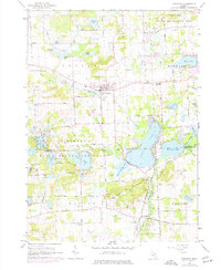
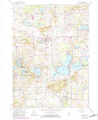
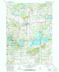
Editions of this 1965 Pinckney Map
4 editions found
Other maps of this area

1902 · Dexter
USGS Topo · 1:62,500

1904 · Ann Arbor
USGS Topo · 1:125,000

1906 · Dexter
USGS Topo · 1:62,500

1907 · Howell
USGS Topo · 1:62,500

1908 · Ann Arbor
USGS Topo · 1:125,000

1908 · Fowlerville
USGS Topo · 1:62,500

1909 · Howell
USGS Topo · 1:62,500

1910 · Fowlerville
USGS Topo · 1:62,500

1919 · Stockbridge
USGS Topo · 1:62,500

1922 · Stockbridge
USGS Topo · 1:62,500
Featured Places
- Hamburg Township, MI
- Putnam Township, MI
- Webster Township, MI
- Dexter Township, MI
- Pinckney, Putnam Township