
1910 Map of Pullman
USGS Topo · Published 1910About this map
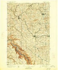
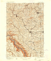
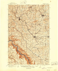
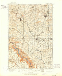
The State College of Washington and the nearby University of Idaho anchor this early 20th-century landscape, illustrating the educational foundations of the Palouse region. A dense network of competing rail lines, including the Spokane and Inland Empire Railroad and the Northern Pacific Railroad, crisscross the rolling hills between Colfax and Pullman. These tracks follow the winding path of the South Fork Palouse River and various coulees, moving the region's agricultural output toward market. Along the southern edge, the terrain drops dramatically toward the Snake River, where deep-cut landmarks like Nisqually John Canyon and Deadman Gulch break the upland plains. Small agricultural hubs and post offices such as Guy Albion PO, Elberton, and Wilcox dot the map, many situated at the confluence of seasonal creeks and drainage flats like Missouri Flat and Spring Flat.
Find a feature on this map
88 named features on this map. Tap any name to fly to it.
Don’t see what you’re looking for? This feature index may not catch every label — zoom into the map to look around manually.
Map Details
Editions of this 1910 Pullman Map
5 editions found
Other maps of this area

1903 · Oakesdale
USGS Topo · 1:125,000

1905 · Oakesdale
USGS Topo · 1:125,000

1937 · Pomeroy
USGS Topo · 1:96,000

1942 · Pomeroy
USGS Topo · 1:125,000

1943 · Peola
USGS Topo · 1:62,500

1945 · Clarkston
USGS Topo · 1:62,500

1946 · Peola
USGS Topo · 1:62,500

1948 · Clarkston
USGS Topo · 1:62,500

1950 · Penawawa
USGS Topo · 1:62,500

1950 · Endicott
USGS Topo · 1:62,500