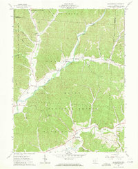
1961 Map of Ratcliffburg
USGS Topo · Published 1971About this map
Eagle Mills and Ratcliffburg anchor this 1961 survey of Vinton County, where the deep valleys of the Salt Creek watershed dictate the patterns of human settlement. The landscape is defined by the intersection of Tar Hollow State Forest and Wayne National Forest, revealing a rural infrastructure of small country churches and family cemeteries tucked into hollows. Notable landmarks include an Indian Mound near Salt Creek and the Forest Ranger Station in the western hills.
Find a feature on this map
47 named features on this map. Tap any name to fly to it.
Don’t see what you’re looking for? This feature index may not catch every label — zoom into the map to look around manually.
Map Details
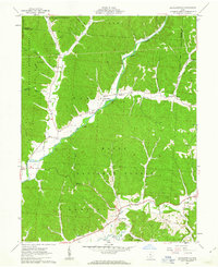
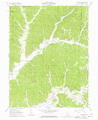
Editions of this 1961 Ratcliffburg Map
Other maps of this area

1906 · Waverly
USGS Topo · 1:62,500

1906 · Chillicothe
USGS Topo · 1:62,500

1908 · Chillicothe
USGS Topo · 1:62,500

1908 · Waverly
USGS Topo · 1:62,500

1910 · Laurelville
USGS Topo · 1:62,500

1912 · Laurelville
USGS Topo · 1:62,500

1913 · Jackson
USGS Topo · 1:62,500

1944 · Jackson
USGS Topo · 1:62,500

1944 · Laurelville
USGS Topo · 1:62,500

1947 · Columbus
USGS Topo · 1:250,000