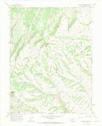
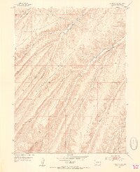
1964 Map of Razorback Ridge
USGS Topo · Published 1968About this map
Brush Mountain and Skinner Ridge dominate this mid-century look at the high-country border between Rio Blanco and Garfield counties. The landscape is defined by a network of drainage systems, including the headwaters of Black Sulphur Creek and Clear Creek, which carve deep canyons into the plateaus. This area, largely defined by its isolation and steep relief, shows evidence of early-1960s activity with labels for a Drill Hole and a network of Jeep Trails navigating the divides. Historical human presence is captured at Atencio Cabin, situated along the Right Fork of a local drainage. The map provides a detailed view of the watershed divide near Cathedral, where various springs feed the complex creek systems that eventual flow toward the larger river basins beyond the quadrangle's edges.
Find a feature on this map
22 named features on this map. Tap any name to fly to it.
Don’t see what you’re looking for? This feature index may not catch every label — zoom into the map to look around manually.
Map Details
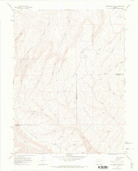
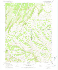
Editions of this 1964 Razorback Ridge Map
3 editions found
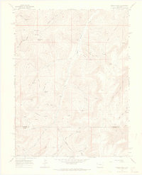
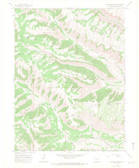
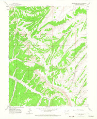
Other maps of this area
1929 · Highmore
USGS Topo · 1:62,500
1952 · Yankee Gulch
USGS Topo · 1:24,000

1956 · Grand Junction
USGS Topo · 1:250,000

1959 · Grand Junction
USGS Topo · 1:250,000

1960 · Grand Junction
USGS Topo · 1:250,000

1962 · Grand Junction
USGS Topo · 1:250,000

1964 · Grand Junction
USGS Topo · 1:250,000
1964 · Brushy Point
USGS Topo · 1:24,000
1964 · Henderson Ridge
USGS Topo · 1:24,000
1964 · Black Cabin Gulch
USGS Topo · 1:24,000