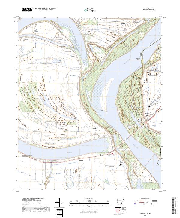
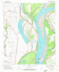
2024 Map of Red Leaf
USGS Topo · Published 2024This historical map portrays the area of Red Leaf in 2024, primarily covering Chicot County as well as portions of Mississippi. Featuring a scale of 1:24000, this map provides a highly detailed snapshot of the terrain, roads, buildings, counties, and historical landmarks in the Red Leaf region at the time. Published in 2024, it is the sole known edition of this map.
Map Details
Editions of this 2024 Red Leaf Map
This is the sole edition of this map. No revisions or reprints were ever made.
Historical Maps of Chicot County Through Time
24 maps found

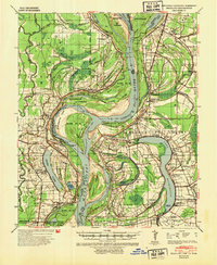
1933 Lamont
Chicot County, AR
1939 Readland
Chicot County, AR
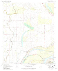
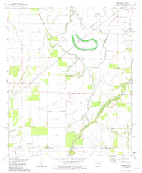
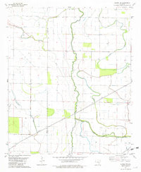
1970 Eminence
Chicot County, AR
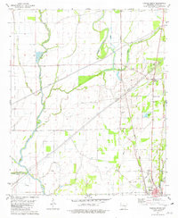
1970 Luna
Chicot County, AR
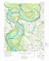
1970 Readland
Chicot County, AR
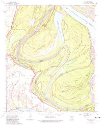
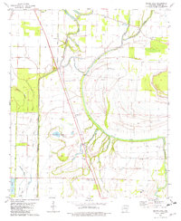
1970 Red Leaf
Chicot County, AR
1972 Readland
Chicot County, AR
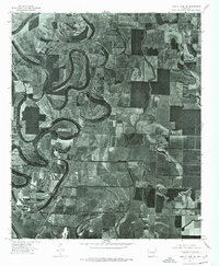
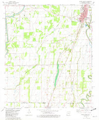
1975 Lake Village NE
Chicot County, AR
1975 Lake Village NW
Chicot County, AR
1977 Lamont
Chicot County, AR
1981 Empire
Chicot County, AR
1981 Eudora North
Chicot County, AR
1981 Eudora NW
Chicot County, AR
1981 Eudora South
Chicot County, AR
1981 Macon Lake
Chicot County, AR
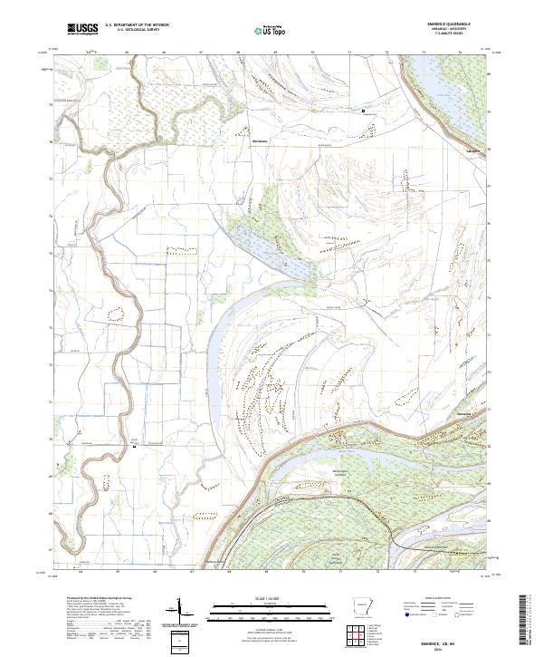
2024 Eminence
Chicot County, AR
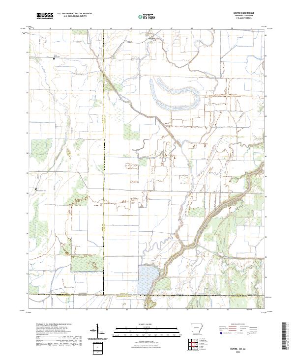
2024 Empire
Chicot County, AR
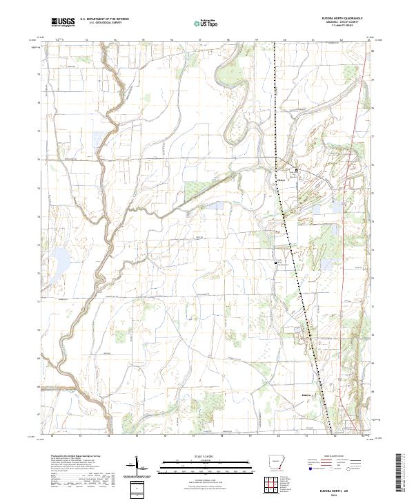
2024 Eudora North
Chicot County, AR
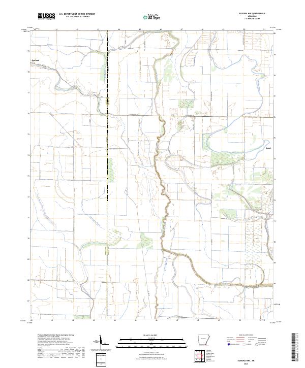
2024 Eudora NW
Chicot County, AR
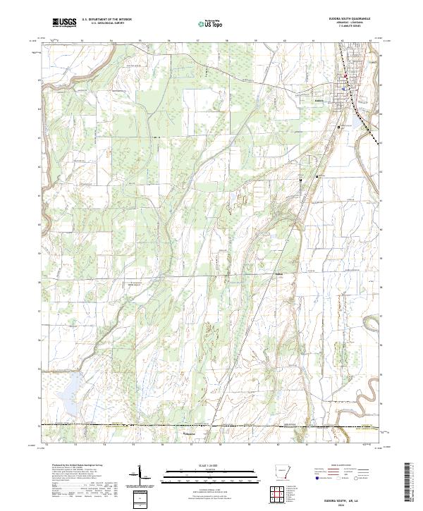
2024 Eudora South
Chicot County, AR
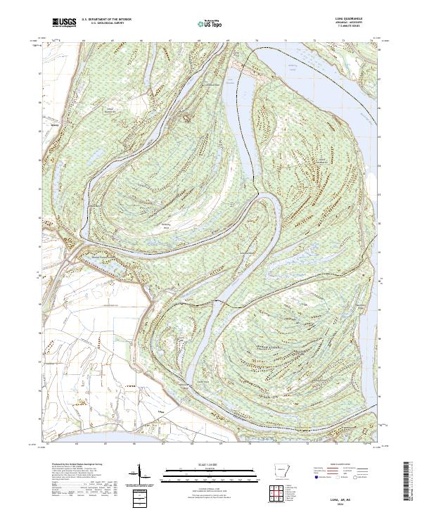
2024 Luna
Chicot County, AR
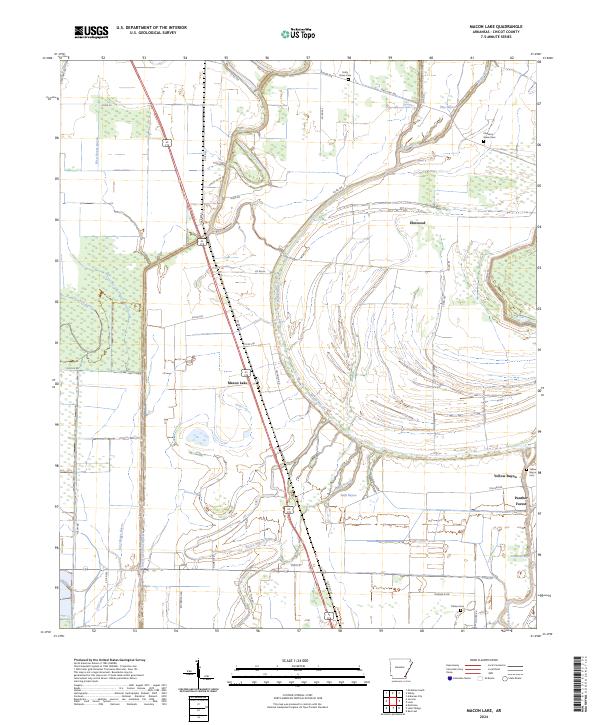
2024 Macon Lake
Chicot County, AR
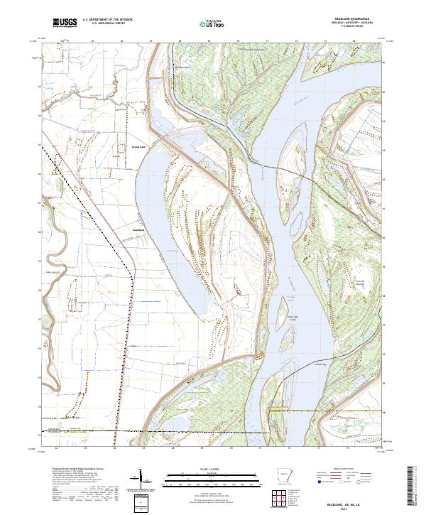
2024 Readland
Chicot County, AR
2024 Red Leaf
Chicot County, AR