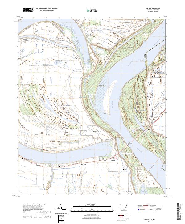
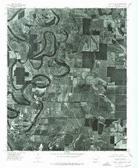
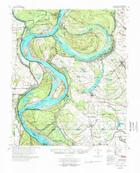
2024 Map of Red Leaf
USGS Topo · Published 2024About this map
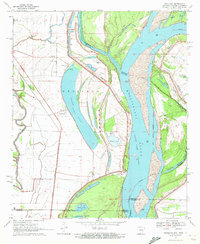
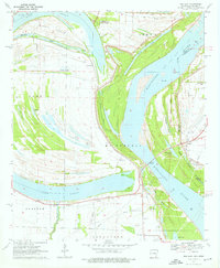
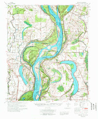
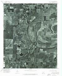
The Mississippi River carves a massive, looping path across this Chicot County landscape, defining the jagged border between Arkansas and Mississippi. This riverine environment is shaped by significant landforms like Walker Bend, Leland Bar, and Vaucluse Bar, which reflect the constant movement of the channel. Further inland, the presence of Lake Chicot and Swan Pond indicates the remnants of older river paths, creating a terrain rich in bayous and chutes such as Whiskey Chute and Ditch Bayou.
Find a feature on this map
67 named features on this map. Tap any name to fly to it.
Don’t see what you’re looking for? This feature index may not catch every label — zoom into the map to look around manually.
Map Details
Editions of this 2024 Red Leaf Map
This is the sole edition of this map. No revisions or reprints were ever made.
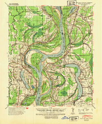
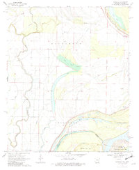
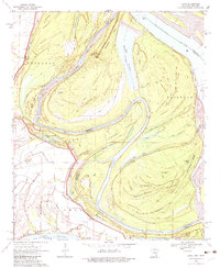
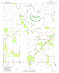
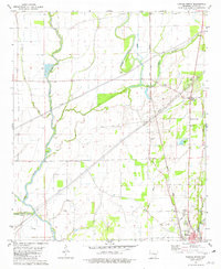
Historical Maps of Vaucluse Through Time
24 maps found

1933 Lamont
Chicot County, AR
1939 Readland
Chicot County, AR
1970 Eminence
Chicot County, AR
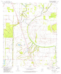
1970 Luna
Chicot County, AR
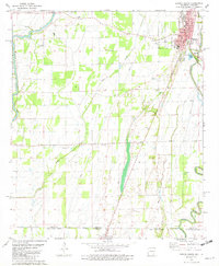
1970 Readland
Chicot County, AR
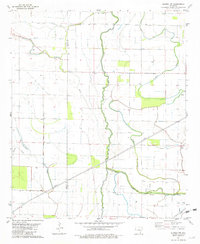
1970 Red Leaf
Chicot County, AR
1972 Readland
Chicot County, AR
1975 Lake Village NE
Chicot County, AR
1975 Lake Village NW
Chicot County, AR
1977 Lamont
Chicot County, AR
1981 Empire
Chicot County, AR
1981 Eudora North
Chicot County, AR
1981 Eudora NW
Chicot County, AR
1981 Eudora South
Chicot County, AR
1981 Macon Lake
Chicot County, AR
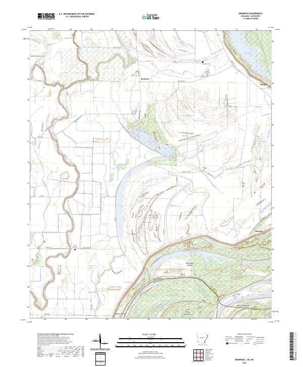
2024 Eminence
Chicot County, AR
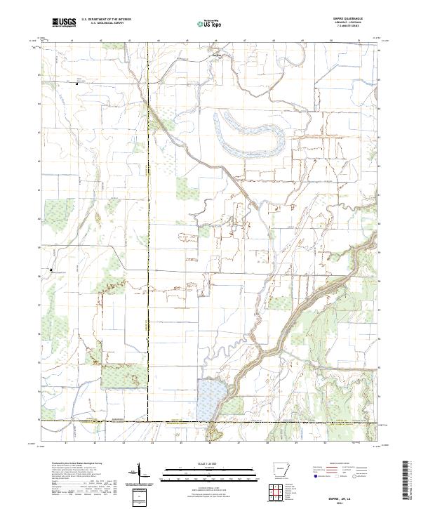
2024 Empire
Chicot County, AR
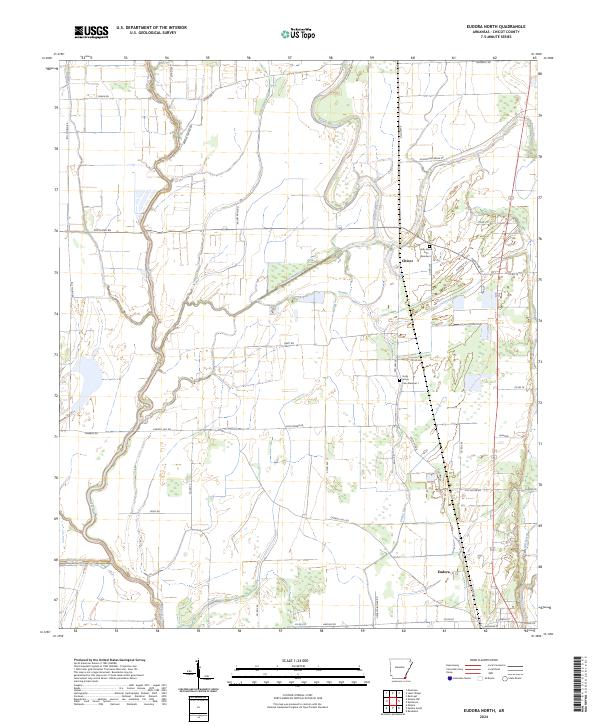
2024 Eudora North
Chicot County, AR
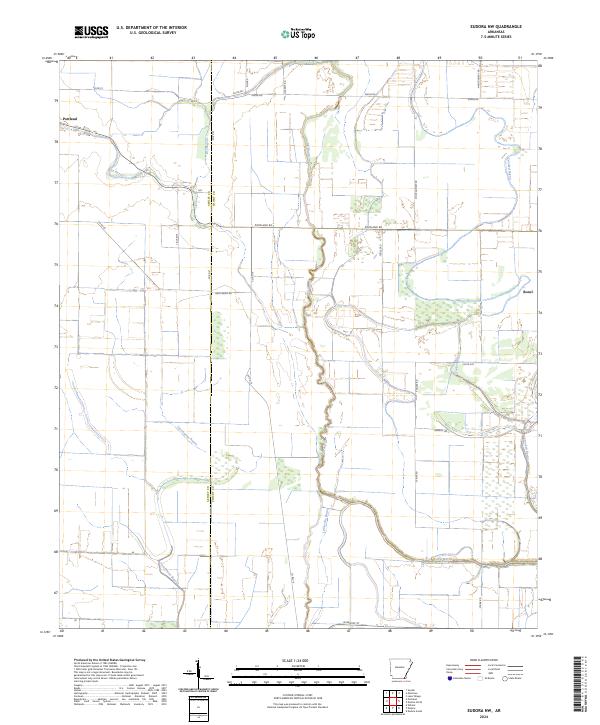
2024 Eudora NW
Chicot County, AR
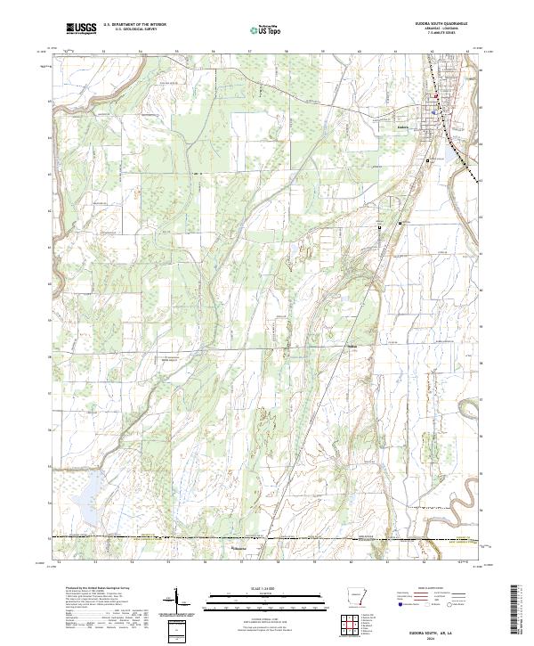
2024 Eudora South
Chicot County, AR
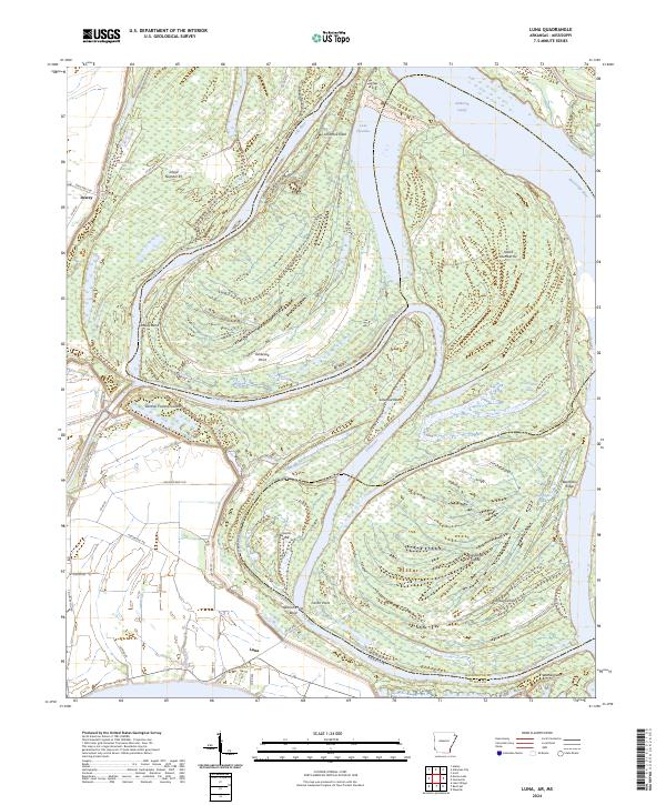
2024 Luna
Chicot County, AR
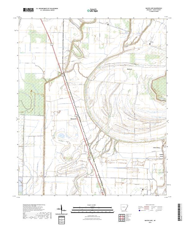
2024 Macon Lake
Chicot County, AR
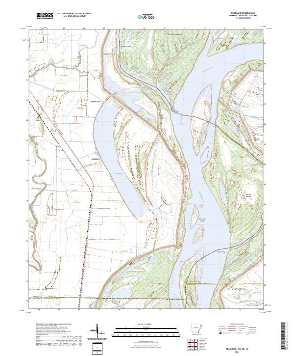
2024 Readland
Chicot County, AR
2024 Red Leaf
Chicot County, AR