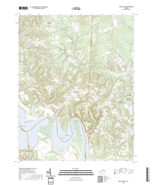
2022 Map of Rollins Fork
USGS Topo · Published 2022About this map
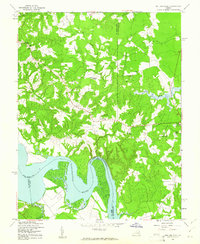
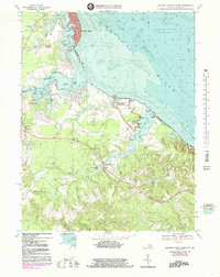
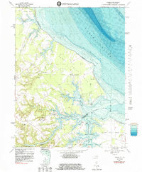
The Rappahannock River dictates the landscape of this coastal plain region, where the borders of King George, Westmoreland, Essex, and Caroline counties meet. The river's winding path creates dramatic geographic features such as Devils Elbow, Horse Head Point, and the wide waters of Portobago Bay and Green Bay. Inland, the terrain is defined by low ridges like Round Hill and numerous creek systems, including Kings Mill Cr and Jetts Cr, which historically influenced settlement patterns and local agricultural boundaries.
Find a feature on this map
100 named features on this map. Tap any name to fly to it.
Don’t see what you’re looking for? This feature index may not catch every label — zoom into the map to look around manually.
Map Details
Editions of this 2022 Rollins Fork Map
This is the sole edition of this map. No revisions or reprints were ever made.
Historical Maps of Shiloh Through Time
21 maps found

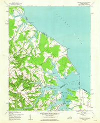
1930 Wakefield
Westmoreland County, VA
1932 Wakefield
Westmoreland County, VA

1942 Rollins Fork
Westmoreland County, VA
1943 Machodoc
Westmoreland County, VA
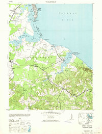
1943 Wakefield
Westmoreland County, VA
1943 Yeocomico River
Westmoreland County, VA
1949 Rollins Fork
Westmoreland County, VA
1953 Wakefield
Westmoreland County, VA
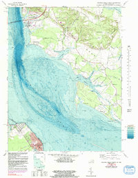
1968 Colonial Beach North
Westmoreland County, VA
1968 Colonial Beach South
Westmoreland County, VA
1968 Kinsale
Westmoreland County, VA
1968 Machodoc
Westmoreland County, VA
1968 Rollins Fork
Westmoreland County, VA

1968 Stratford Hall
Westmoreland County, VA
1981 Stratford Hall
Westmoreland County, VA
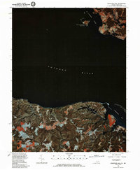
2022 Colonial Beach North
Westmoreland County, VA
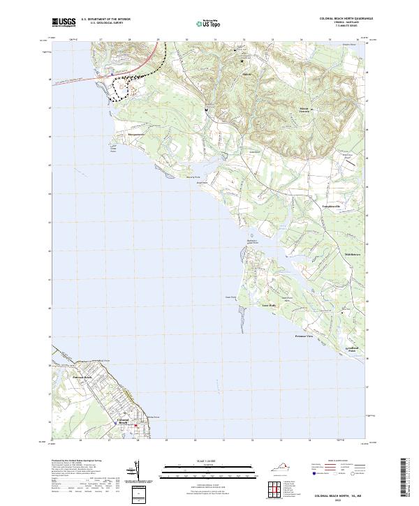
2022 Colonial Beach South
Westmoreland County, VA
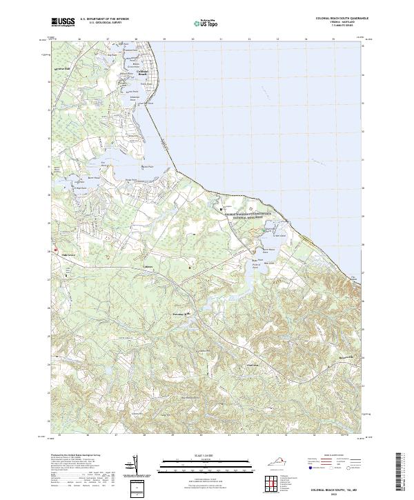
2022 Kinsale
Westmoreland County, VA
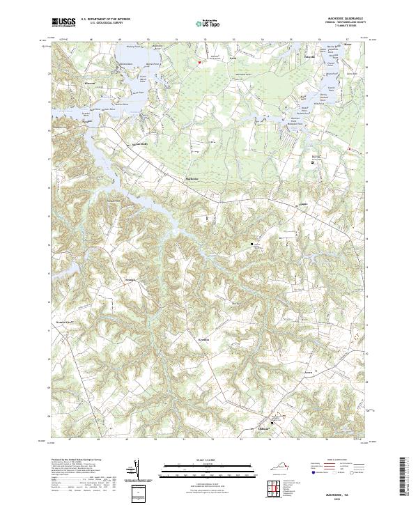
2022 Machodoc
Westmoreland County, VA
2022 Rollins Fork
Westmoreland County, VA
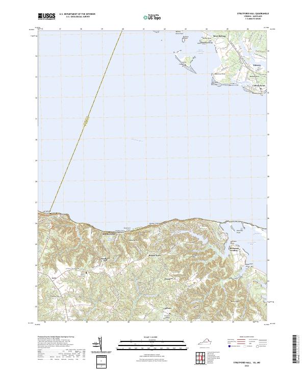
2022 Stratford Hall
Westmoreland County, VA