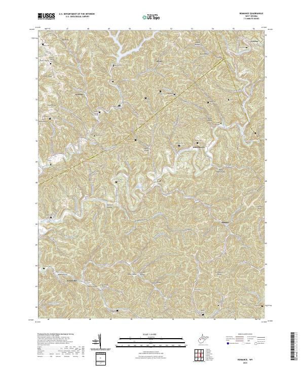
2023 Map of Romance
USGS Topo · Published 2023About this map
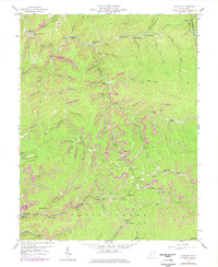
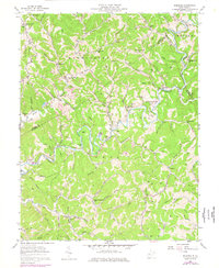
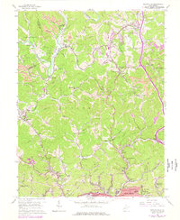
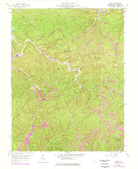
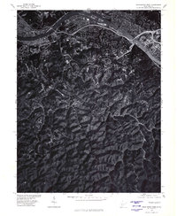
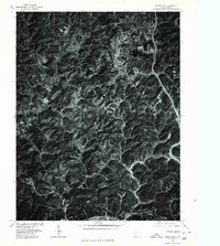
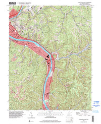
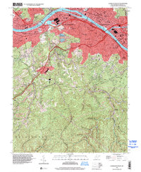
The Pocatalico River carves a winding path through this corner of Kanawha, Jackson, and Roane Counties, anchoring a landscape defined by steep ridges and narrow hollows. In the southern reach, Sissonville serves as a primary hub where Grapevine Creek joins the main river valley. This terrain is marked by dozens of family-named landmarks and cemeteries, such as the Hammack Fisher Cem and Vandine Cem, indicating generations of deep-rooted rural settlement.
Find a feature on this map
137 named features on this map. Tap any name to fly to it.
Don’t see what you’re looking for? This feature index may not catch every label — zoom into the map to look around manually.
Map Details
Editions of this 2023 Romance Map
This is the sole edition of this map. No revisions or reprints were ever made.
Historical Maps of Advent Through Time
27 maps found

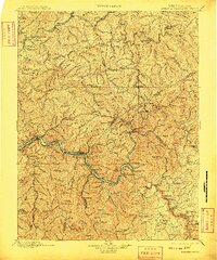
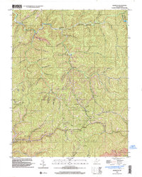
1897 Kanawha Falls
Kanawha County, WV

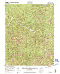
1900 Kanawha Falls
Kanawha County, WV
1901 Kanawha Falls
Kanawha County, WV
1957 Blue Creek
Kanawha County, WV
1957 Charleston East
Kanawha County, WV
1957 Mammoth
Kanawha County, WV
1957 Romance
Kanawha County, WV
1958 Charleston East
Kanawha County, WV
1958 Charleston West
Kanawha County, WV
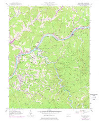
1958 Pocatalico
Kanawha County, WV
1958 Quick
Kanawha County, WV
1977 Blue Creek
Kanawha County, WV
1977 Charleston East
Kanawha County, WV
1977 Charleston West
Kanawha County, WV
1977 Pocatalico
Kanawha County, WV

1994 Pocatalico
Kanawha County, WV
1996 Charleston East
Kanawha County, WV
1996 Charleston West
Kanawha County, WV
1996 Mammoth
Kanawha County, WV
2000 Quick
Kanawha County, WV
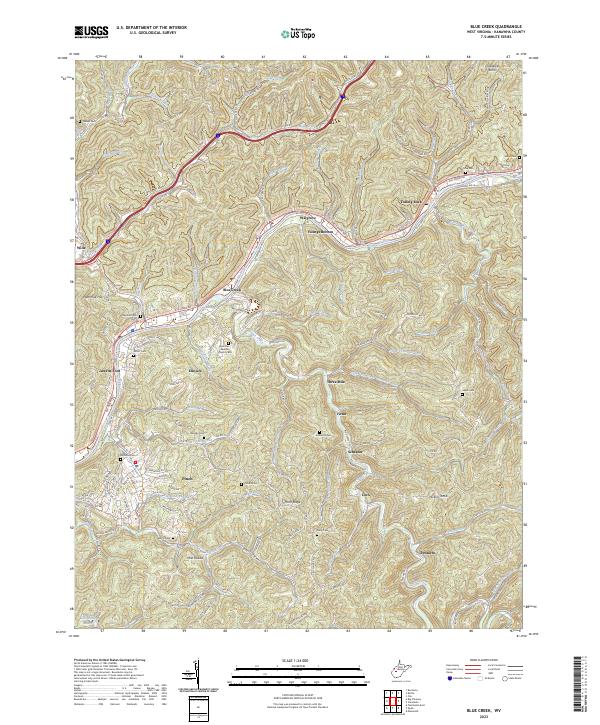
2023 Blue Creek
Kanawha County, WV
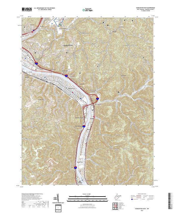
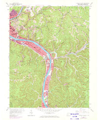
2023 Charleston East
Kanawha County, WV
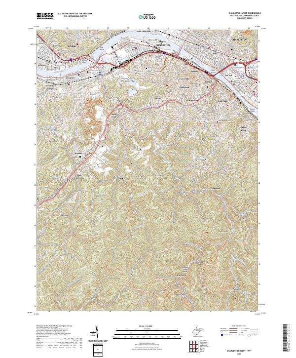
2023 Charleston West
Kanawha County, WV
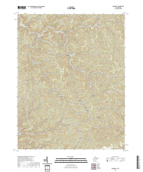
2023 Mammoth
Kanawha County, WV
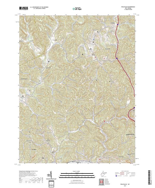
2023 Pocatalico
Kanawha County, WV
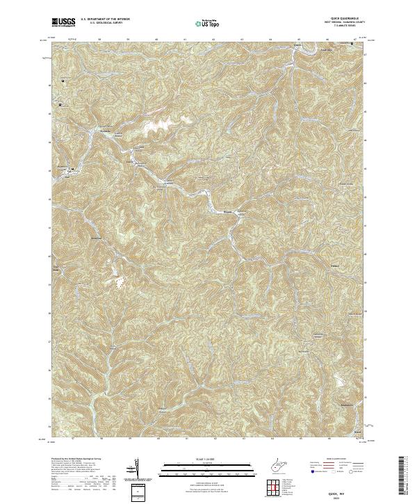
2023 Quick
Kanawha County, WV
2023 Romance
Kanawha County, WV