
1905 Map of Saint Regis
USGS Topo · Published 1905About this map
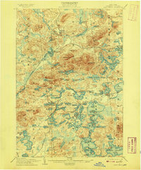
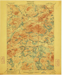
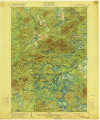
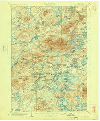
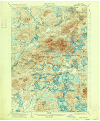
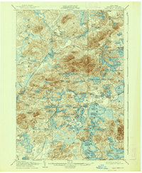
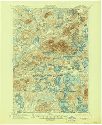
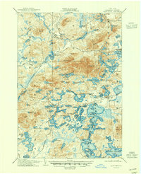
Saranac Inn and the sprawling water network of the northern Adirondacks define this turn-of-the-century topographic landscape. In an era when rail travel opened the North Country to seasonal visitors and industry alike, the New York Central and Hudson River R R cuts across the southeastern quadrant, establishing the Saranac Inn Sta as a critical gateway. To the northwest, the New York and Ottawa R R serves the logging and sawmill outpost at Brandon and the settlement of Derrick.
Find a feature on this map
106 named features on this map. Tap any name to fly to it.
Don’t see what you’re looking for? This feature index may not catch every label — zoom into the map to look around manually.
Map Details
Editions of this 1905 Saint Regis Map
9 editions found
Other maps of this area

1902 · Saranac
USGS Topo · 1:62,500

1904 · Saranac
USGS Topo · 1:62,500

1904 · Santanoni
USGS Topo · 1:62,500

1904 · Long Lake
USGS Topo · 1:62,500

1906 · Loon Lake
USGS Topo · 1:62,500

1907 · Tupper Lake
USGS Topo · 1:62,500

1908 · Loon Lake
USGS Topo · 1:62,500

1919 · Nicholville
USGS Topo · 1:62,500

1920 · Childwold
USGS Topo · 1:62,500

1921 · Childwold
USGS Topo · 1:48,000