
1953 Map of Seguin
USGS Topo · Published 1965About this map
The Guadalupe River and Colorado River systems dominate this mid-century survey of the South Texas plains, capturing a landscape defined by its river-basin agriculture and the emerging energy sector. The map details an extensive network of oil fields and oil wells concentrated toward the coast in Wharton County, contrasting with the more traditional ranching and farming terrain near the Capote Hills.
Find a feature on this map
83 named features on this map. Tap any name to fly to it.
Don’t see what you’re looking for? This feature index may not catch every label — zoom into the map to look around manually.
Map Details
Editions of this 1953 Seguin Map
4 editions found
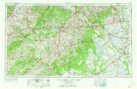
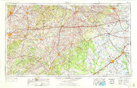
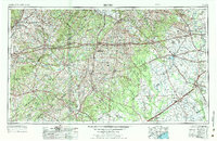
Other maps of this area

1885 · Bastrop
USGS Topo · 1:125,000

1887 · Blanco
USGS Topo · 1:125,000

1893 · Bastrop
USGS Topo · 1:125,000

1894 · Blanco
USGS Topo · 1:125,000

1896 · Austin
USGS Topo · 1:125,000

1897 · Austin
USGS Topo · 1:125,000

1901 · Flatonia
USGS Topo · 1:125,000

1904 · Bastrop
USGS Topo · 1:125,000

1910 · Austin
USGS Topo · 1:125,000

1911 · San Marcos
USGS Topo · 1:125,000