
1904 Map of Siloam Springs
USGS Topo · Published 1904About this map
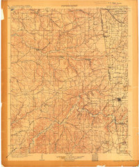
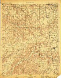
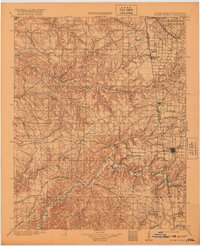
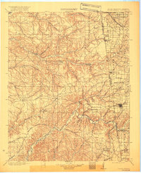
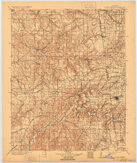
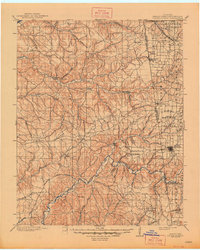
Siloam Springs and the surrounding borderlands of the Cherokee Nation and Arkansas are documented here just before Oklahoma's statehood. The landscape is defined by a series of distinct upland clearings such as Elkhorn Prairie, Long Prairie, and Lowry Prairie, which shaped the early settlement patterns of the region. The Arkansas Missouri Line and the border with the Cherokee Nation create a political framework for a territory then characterized by isolated trading posts like Shoaps Store and rural centers like Maysville.
Find a feature on this map
73 named features on this map. Tap any name to fly to it.
Don’t see what you’re looking for? This feature index may not catch every label — zoom into the map to look around manually.
Map Details
Editions of this 1904 Siloam Springs Map
7 editions found
Other maps of this area

1896 · Pryor
USGS Topo · 1:125,000

1898 · Tahlequah
USGS Topo · 1:125,000

1898 · Winslow
USGS Topo · 1:125,000

1899 · Fayetteville
USGS Topo · 1:125,000

1899 · Siloam Springs
USGS Topo · 1:125,000

1901 · Muscogee
USGS Topo · 1:125,000

1901 · Winslow
USGS Topo · 1:125,000

1901 · Vinita
USGS Topo · 1:125,000

1901 · Pryor
USGS Topo · 1:125,000

1901 · Fayetteville
USGS Topo · 1:125,000