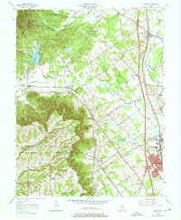
1963 Map of Speed
USGS Topo · Published 1965About this map
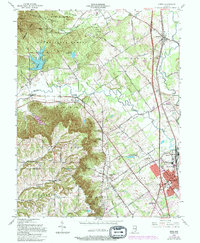
Clark State Forest dominates the northwestern highlands of this region, where the rugged terrain of Wieser Knob and Money Hollow gives way to the lower drainage of the Muddy Fork. The landscape is a study in mid-century connectivity, featuring the prominent corridor of Interstate 65 and the older routes of the Monon and Pennsylvania railroads. These lines link the industrial and residential centers of Sellersburg and Speed to northern settlements like Memphis.
Find a feature on this map
85 named features on this map. Tap any name to fly to it.
Don’t see what you’re looking for? This feature index may not catch every label — zoom into the map to look around manually.
Map Details
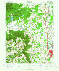
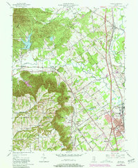
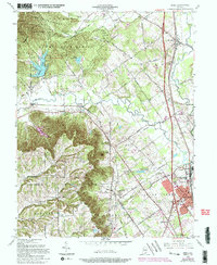
Editions of this 1963 Speed Map
5 editions found
Other maps of this area

1905 · Prospect
USGS Topo · 1:62,500

1912 · Prospect
USGS Topo · 1:62,500

1937 · Jeffersonville
USGS Topo · 1:24,000

1937 · Charlestown
USGS Topo · 1:24,000

1938 · Speed
USGS Topo · 1:24,000

1939 · New Albany
USGS Topo · 1:24,000

1939 · Georgetown
USGS Topo · 1:24,000

1941 · Borden
USGS Topo · 1:24,000

1946 · Jeffersonville
USGS Topo · 1:24,000

1946 · New Albany
USGS Topo · 1:24,000