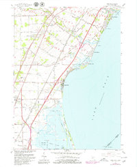
2023 Map of Stony Point OE S
USGS Topo · Published 2023About this map
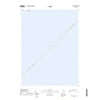
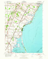
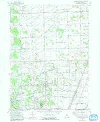
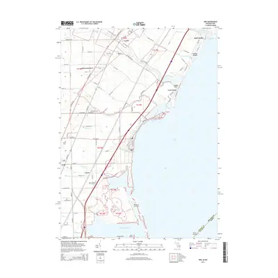
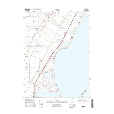
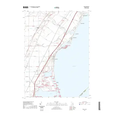
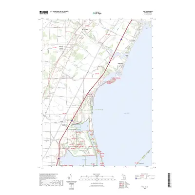
Lake Erie dominates this coastal survey, where the international boundary and state line intersect the open waters of the Great Lakes. The map illustrates the aquatic border where Michigan and Ohio meet, also marking the division between Monroe County and Lucas County. Near the northern edge of the sheet, the shoreline comes into focus at La Plaisance Bay, a significant maritime entry point for the region. The small landform of Smiths Island sits just offshore, providing a rare terrestrial marker in an area otherwise defined by depth and distance. This modern data illustrates the precise jurisdictional boundaries that persist across the western basin of the lake, serving as a vital reference for understanding the watery frontier between these two states.
Find a feature on this map
6 named features on this map. Tap any name to fly to it.
Don’t see what you’re looking for? This feature index may not catch every label — zoom into the map to look around manually.
Map Details
Editions of this 2023 Stony Point OE S Map
This is the sole edition of this map. No revisions or reprints were ever made.
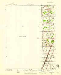
Historical Maps of Monroe Charter Township Through Time
29 maps found
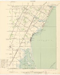
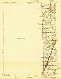
1936 Erie
Monroe County, MI
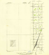
1936 Samaria
Monroe County, MI
1939 Samaria
Monroe County, MI
1941 Samaria
Monroe County, MI
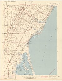
1943 Erie
Monroe County, MI
1952 Erie
Monroe County, MI
1967 Erie
Monroe County, MI
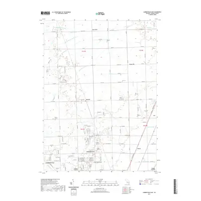
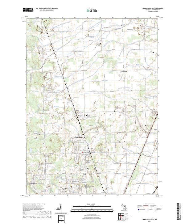
1972 Lambertville East
Monroe County, MI

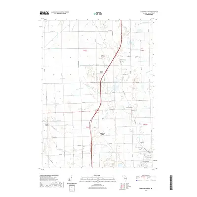
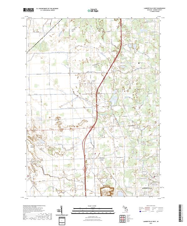
1972 Lambertville West
Monroe County, MI
2011 Erie
Monroe County, MI
2011 Lambertville East
Monroe County, MI
2011 Lambertville West
Monroe County, MI

2011 Stony Point OE S
Monroe County, MI
2014 Erie
Monroe County, MI
2014 Lambertville East
Monroe County, MI
2014 Lambertville West
Monroe County, MI
2014 Stony Point OE S
Monroe County, MI
2017 Erie
Monroe County, MI
2017 Lambertville East
Monroe County, MI
2017 Lambertville West
Monroe County, MI
2017 Stony Point OE S
Monroe County, MI
2019 Erie
Monroe County, MI
2019 Lambertville East
Monroe County, MI
2019 Lambertville West
Monroe County, MI
2019 Stony Point OE S
Monroe County, MI
2023 Erie
Monroe County, MI
2023 Lambertville East
Monroe County, MI
2023 Lambertville West
Monroe County, MI
2023 Stony Point OE S
Monroe County, MI