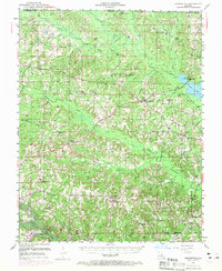
1951 Map of Summerfield
USGS Topo · Published 1969About this map
Corney Bayou and the Middle Fork Bayou D'Arbonne define this northern Louisiana landscape, which in the mid-20th century was a network of rural communities, timberland, and emerging industry. The settlement of Lisbon anchors the southern portion, while the northern reaches near the Arkansas border are marked by Corney Lake and the Rocky Hill Lookout Tower. The map reveals a deeply established social fabric through its numerous rural congregations and educational sites, including Mt Sinai Ch, Hebron Ch, and the Fellowship Sch.
Find a feature on this map
59 named features on this map. Tap any name to fly to it.
Don’t see what you’re looking for? This feature index may not catch every label — zoom into the map to look around manually.
Map Details
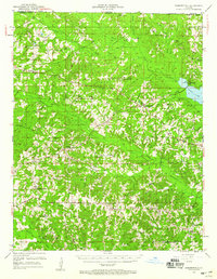
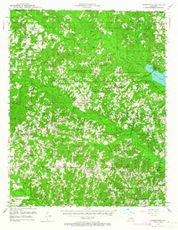
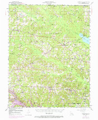
Editions of this 1951 Summerfield Map
5 editions found
Other maps of this area

1927 · El Dorado
USGS Topo · 1:62,500

1930 · El Dorado
USGS Topo · 1:62,500

1949 · Gibsland
USGS Topo · 1:62,500

1950 · Gibsland
USGS Topo · 1:62,500

1950 · Ruston
USGS Topo · 1:62,500

1950 · Arcadia
USGS Topo · 1:62,500

1951 · Arcadia
USGS Topo · 1:62,500

1951 · Ruston
USGS Topo · 1:62,500

1951 · Summerfield
USGS Topo · 1:62,500

1951 · Bernice
USGS Topo · 1:62,500