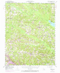
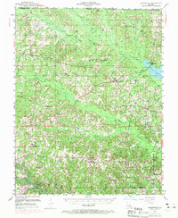
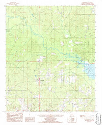
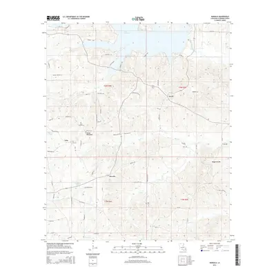
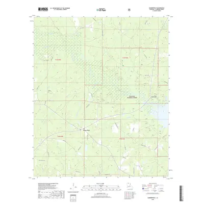
1951 Map of Summerfield
USGS Topo · Published 1969About this map
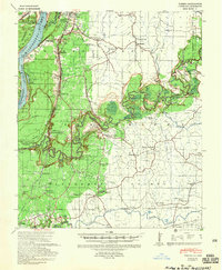
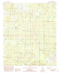
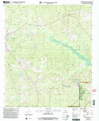
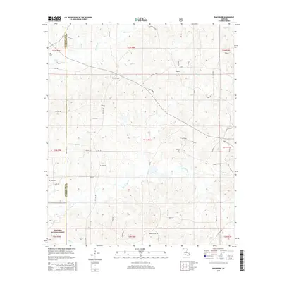
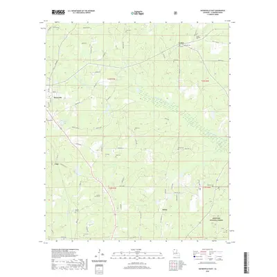
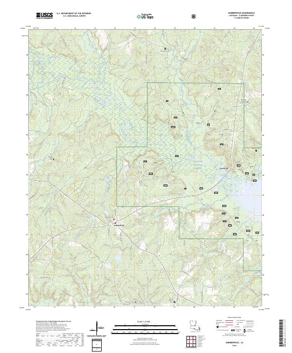
Corney Bayou and its numerous tributaries, including Little Corney Bayou and Three Creeks, define the drainage patterns of this northern Louisiana landscape. During the mid-century period, the area around Summerfield and Lisbon maintained a dense network of rural community landmarks, particularly country schools and churches that served as local anchors. Notable sites such as Center Springs Ch, Mt Calm Sch, and Fellowship Sch reflect the established social geography of Claiborne Parish.
Find a feature on this map
68 named features on this map. Tap any name to fly to it.
Don’t see what you’re looking for? This feature index may not catch every label — zoom into the map to look around manually.
Map Details
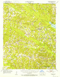
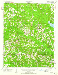
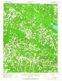
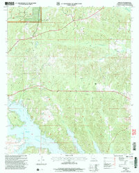
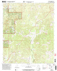
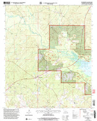
Editions of this 1951 Summerfield Map
5 editions found
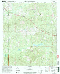
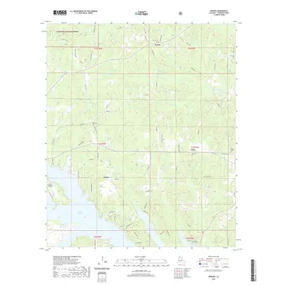
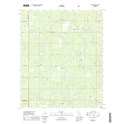
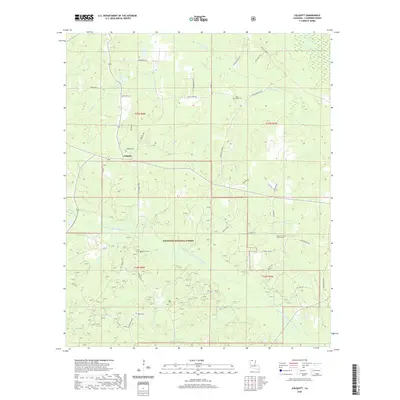
Historical Maps of Lisbon Through Time
56 maps found
1939 Yokena
Claiborne Parish, LA
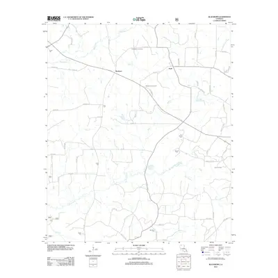
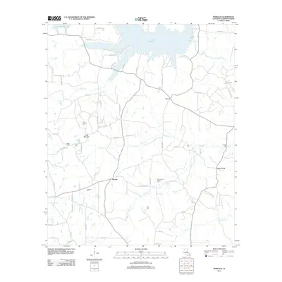
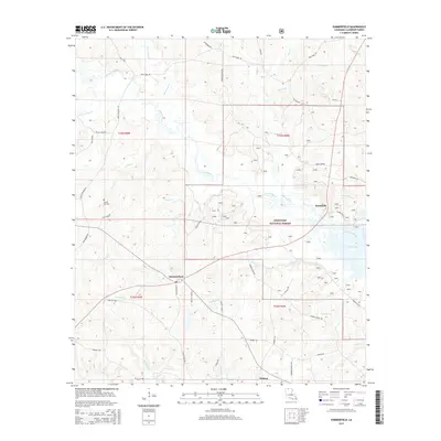
1951 Summerfield
Claiborne Parish, LA
1986 Arizona
Claiborne Parish, LA
1986 Blackburn
Claiborne Parish, LA
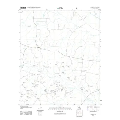
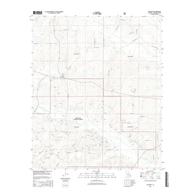
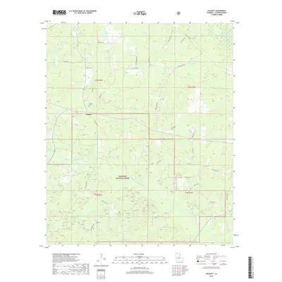
1986 Colquitt
Claiborne Parish, LA

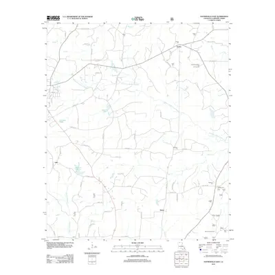
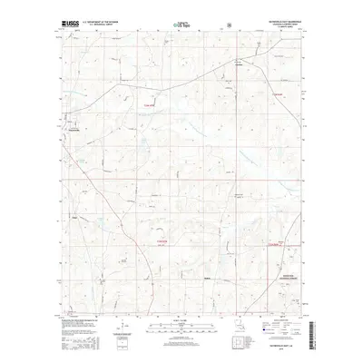
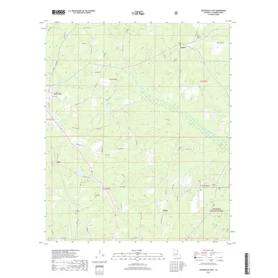
1986 Haynesville East
Claiborne Parish, LA
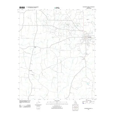
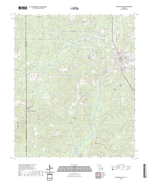
1986 Haynesville West
Claiborne Parish, LA
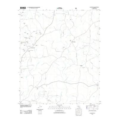
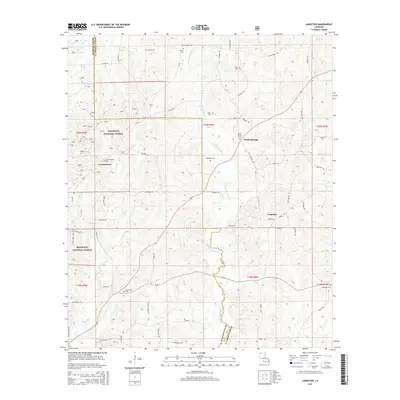
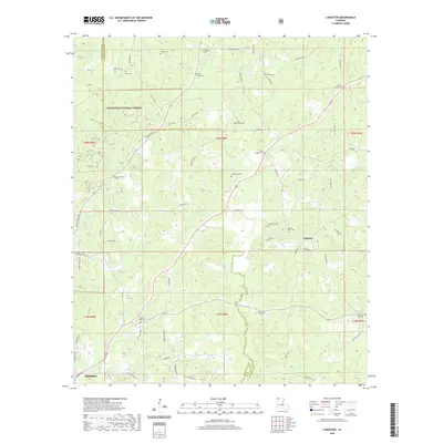
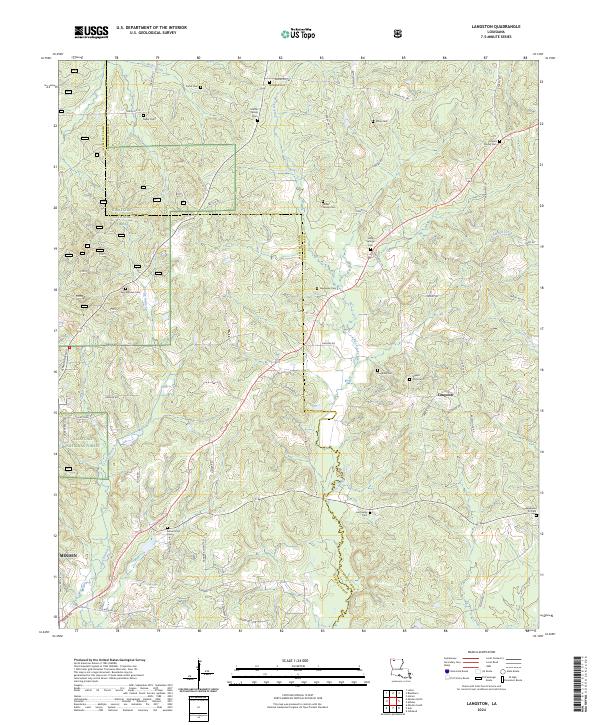
1986 Langston
Claiborne Parish, LA
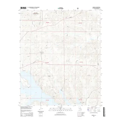
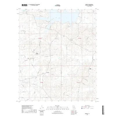
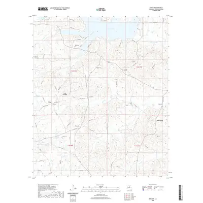
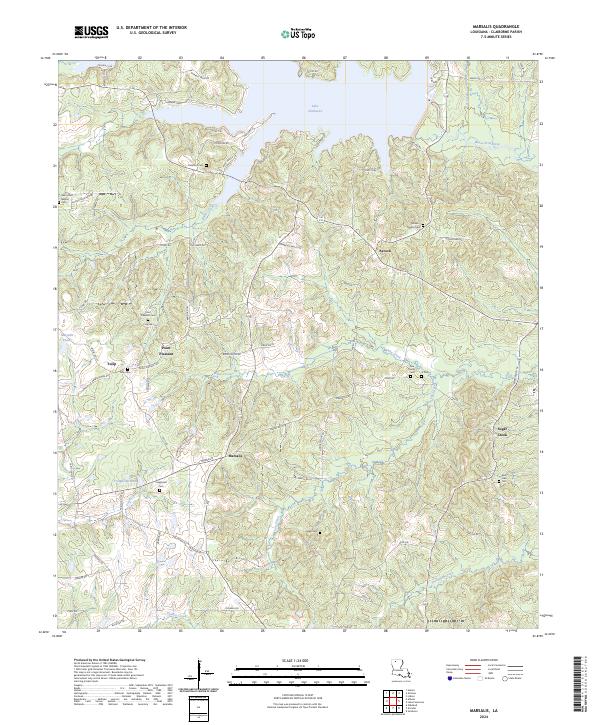
1986 Marsalis
Claiborne Parish, LA
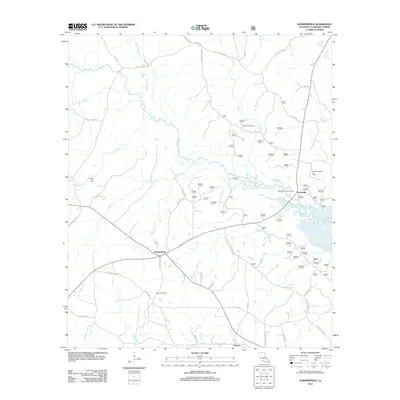
1986 Summerfield
Claiborne Parish, LA
2003 Arizona
Claiborne Parish, LA
2003 Blackburn
Claiborne Parish, LA
2003 Colquitt
Claiborne Parish, LA
2003 Haynesville East
Claiborne Parish, LA
2003 Langston
Claiborne Parish, LA
2003 Summerfield
Claiborne Parish, LA
2012 Arizona
Claiborne Parish, LA
2012 Blackburn
Claiborne Parish, LA
2012 Colquitt
Claiborne Parish, LA
2012 Haynesville East
Claiborne Parish, LA
2012 Haynesville West
Claiborne Parish, LA
2012 Langston
Claiborne Parish, LA
2012 Marsalis
Claiborne Parish, LA
2012 Summerfield
Claiborne Parish, LA
2015 Arizona
Claiborne Parish, LA
2015 Blackburn
Claiborne Parish, LA
2015 Colquitt
Claiborne Parish, LA
2015 Haynesville East
Claiborne Parish, LA

2015 Haynesville West
Claiborne Parish, LA
2015 Langston
Claiborne Parish, LA
2015 Marsalis
Claiborne Parish, LA
2015 Summerfield
Claiborne Parish, LA
2018 Arizona
Claiborne Parish, LA
2018 Blackburn
Claiborne Parish, LA
2018 Colquitt
Claiborne Parish, LA
2018 Haynesville East
Claiborne Parish, LA

2018 Haynesville West
Claiborne Parish, LA
2018 Langston
Claiborne Parish, LA
2018 Marsalis
Claiborne Parish, LA
2018 Summerfield
Claiborne Parish, LA
2020 Arizona
Claiborne Parish, LA
2020 Blackburn
Claiborne Parish, LA
2020 Colquitt
Claiborne Parish, LA
2020 Haynesville East
Claiborne Parish, LA

2020 Haynesville West
Claiborne Parish, LA
2020 Langston
Claiborne Parish, LA
2020 Marsalis
Claiborne Parish, LA
2020 Summerfield
Claiborne Parish, LA
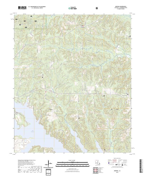
2024 Arizona
Claiborne Parish, LA
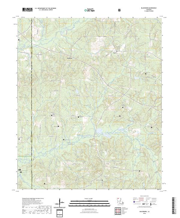
2024 Blackburn
Claiborne Parish, LA
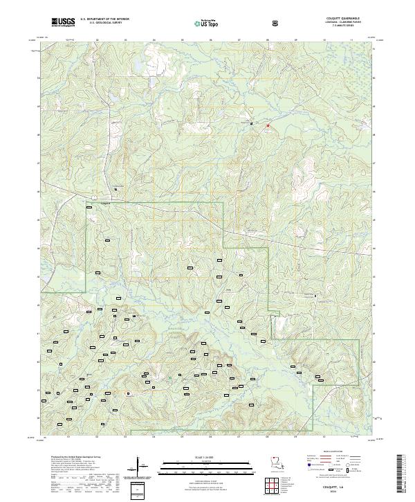
2024 Colquitt
Claiborne Parish, LA
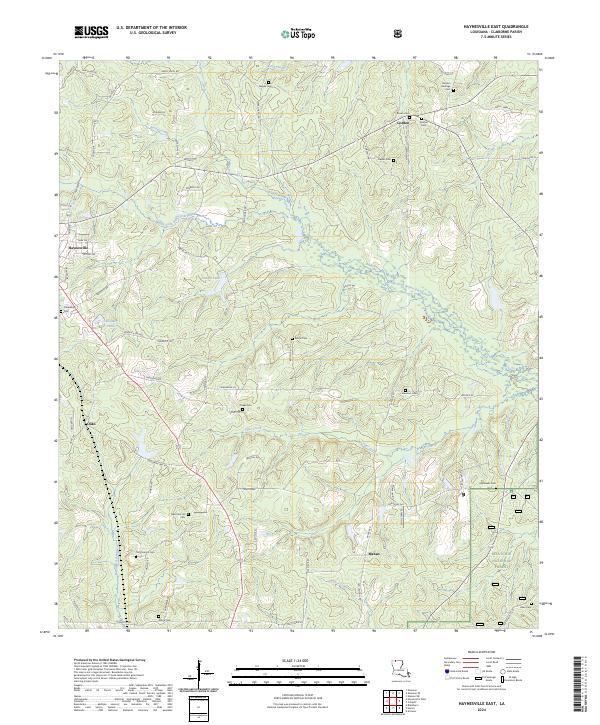
2024 Haynesville East
Claiborne Parish, LA
2024 Haynesville West
Claiborne Parish, LA
2024 Langston
Claiborne Parish, LA
2024 Marsalis
Claiborne Parish, LA
2024 Summerfield
Claiborne Parish, LA