
1897 Map of Tamalpais
USGS Topo · Published 1897About this map
San Rafael and the surrounding Marin County hill country are captured in detail just before the turn of the century, showing a landscape defined by ranching, early rail expansion, and coastal navigation. The map illustrates the dominance of the North Pacific Coast R. R. and the San Francisco and North Pacific R. R. as they navigate the ridges and canyons between San Anselmo and Sausalito. Along the western coast, the small settlement of Bolinas sits at the edge of Bolinas Lagoon, while inland villages like Woodville and Eastland are nestled within the folds of Mt. Tamalpais.
Find a feature on this map
58 named features on this map. Tap any name to fly to it.
Don’t see what you’re looking for? This feature index may not catch every label — zoom into the map to look around manually.
Map Details
Editions of this 1897 Tamalpais Map
12 editions found
1897 edition
16.6 x 20.7 inches
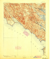
1900 edition
16.6 x 19.8 inches
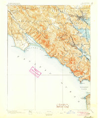
1905 edition
16.6 x 19.8 inches
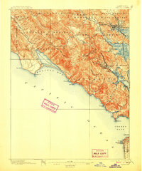
1907 edition
16.6 x 20 inches
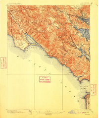
1910 edition
16.6 x 19.8 inches
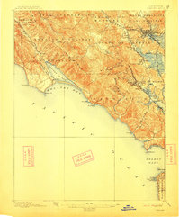
1913 edition
16.6 x 20 inches
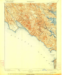
1922 edition
16.6 x 19.9 inches
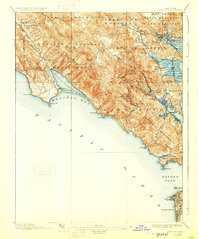
1928 edition
16.6 x 19.9 inches
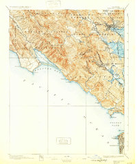
1932 edition
16.6 x 19.9 inches
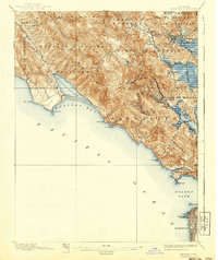
1940 edition
16.6 x 19.7 inches
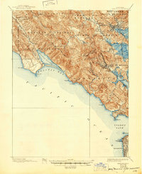
1945 edition
17 x 20.7 inches
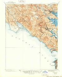
1950 edition
16.6 x 20.6 inches
Other maps of this area

1892 · San Mateo
USGS Topo · 1:62,500

1895 · San Francisco
USGS Topo · 1:62,500

1896 · San Mateo
USGS Topo · 1:62,500

1899 · San Francisco
USGS Topo · 1:62,500

1899 · San Mateo
USGS Topo · 1:62,500

1902 · Napa
USGS Topo · 1:125,000

1914 · Petaluma
USGS Topo · 1:62,500

1915 · San Mateo
USGS Topo · 1:62,500

1915 · San Francisco
USGS Topo · 1:62,500

1916 · Mare Island
USGS Topo · 1:62,500